File:Saltnes on Faroe map.png

Size of this preview: 398 × 599 pixels. Other resolutions: 159 × 240 pixels | 319 × 480 pixels | 688 × 1,035 pixels.
Original file (688 × 1,035 pixels, file size: 24 KB, MIME type: image/png)
Captions
Captions
Add a one-line explanation of what this file represents
| Description | |||
| Source | Own work | ||
| Author | Graphics: Arne List | ||
| Permission (Reusing this file) |
|
File history
Click on a date/time to view the file as it appeared at that time.
| Date/Time | Thumbnail | Dimensions | User | Comment | |
|---|---|---|---|---|---|
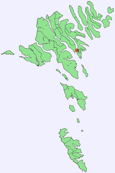
| current | 12:36, 30 July 2005 | | 688 × 1,035 (24 KB) | Arne List (talk | contribs) | *Position of Saltnes in the Faroe Islands *Graphics: Arne List {{PD}} |
You cannot overwrite this file.
File usage on Commons
The following 2 pages use this file:
File usage on other wikis
The following other wikis use this file:
- Usage on ca.wikipedia.org
- Usage on da.wikipedia.org
- Usage on de.wikipedia.org
- Usage on fo.wikipedia.org
- Usage on ro.wikipedia.org
- Usage on sv.wikipedia.org
- Usage on www.wikidata.org