File:Sand Point Lighthouse - panoramio.jpg

Size of this preview: 459 × 599 pixels. Other resolutions: 184 × 240 pixels | 368 × 480 pixels | 998 × 1,303 pixels.
Original file (998 × 1,303 pixels, file size: 909 KB, MIME type: image/jpeg)
Captions
Captions
Add a one-line explanation of what this file represents
Summary
edit
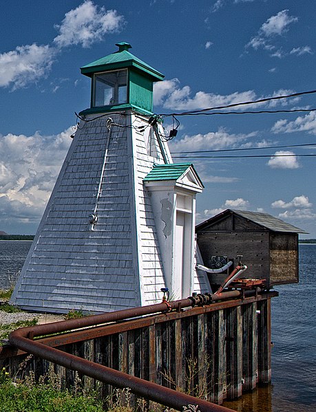
| Description | Sand Point Lighthouse | ||
| Date | Taken on 16 August 2013 | ||
| Source | https://web.archive.org/web/20161028000105/http://www.panoramio.com/photo/103777436 | ||
| Author | cisko66 | ||
| Permission (Reusing this file) |
This file is licensed under the Creative Commons Attribution 3.0 Unported license. Attribution: cisko66
|
||
| Tags (from Panoramio photo page) | McNab/Braeside, Canada, Lighthouse |
| Camera location | | View this and other nearby images on: OpenStreetMap |
|---|
File history
Click on a date/time to view the file as it appeared at that time.
| Date/Time | Thumbnail | Dimensions | User | Comment | |
|---|---|---|---|---|---|
| current | 04:05, 21 March 2017 | | 998 × 1,303 (909 KB) | Panoramio upload bot (talk | contribs) | == {{int:filedesc}} == {{Information |description=Sand Point Lighthouse |date={{Taken on|2013-08-16}} |source=http://www.panoramio.com/photo/103777436 |author=[http://www.panoramio.com/user/111408?with_photo_id=103777436 cisko66] |permission={{cc-by-3.... |
You cannot overwrite this file.
File usage on Commons
There are no pages that use this file.
File usage on other wikis
The following other wikis use this file:
- Usage on de.wikipedia.org
- Usage on www.wikidata.org