File:Sangi Bus 0923.jpg
Size of this preview: 800 × 441 pixels. Other resolutions: 320 × 176 pixels | 640 × 353 pixels | 1,024 × 564 pixels | 1,280 × 705 pixels | 3,260 × 1,796 pixels.
Original file (3,260 × 1,796 pixels, file size: 719 KB, MIME type: image/jpeg)
File information
Structured data
Captions
Summary edit
Camera location | 35° 00′ 29.69″ N, 136° 39′ 00.63″ E | View this and other nearby images on: OpenStreetMap | 35.008246; 136.650176 |
---|
Licensing edit
Permission is granted to copy, distribute and/or modify this document under the terms of the GNU Free Documentation License, Version 1.2 or any later version published by the Free Software Foundation; with no Invariant Sections, no Front-Cover Texts, and no Back-Cover Texts. A copy of the license is included in the section entitled GNU Free Documentation License.http://www.gnu.org/copyleft/fdl.htmlGFDLGNU Free Documentation Licensetruetrue |
This file is licensed under the Creative Commons Attribution-Share Alike 3.0 Unported license. | ||
| ||
This licensing tag was added to this file as part of the GFDL licensing update.http://creativecommons.org/licenses/by-sa/3.0/CC BY-SA 3.0Creative Commons Attribution-Share Alike 3.0truetrue |
File history
Click on a date/time to view the file as it appeared at that time.
Date/Time | Thumbnail | Dimensions | User | Comment | |
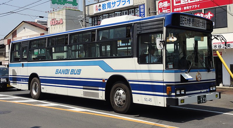
---|---|---|---|---|---|
current | 12:16, 5 June 2012 | 3,260 × 1,796 (719 KB) | Rsa (talk | contribs) | == {{int:filedesc}} == {{Information |Description=三岐鉄道バス |Source=Rsaが近鉄富田駅横で撮影 |Date=2012-05-27 |Author=Rsa |Permission=GFDL }} == {{int:license}} == {{GFD... |
You cannot overwrite this file.
File usage on Commons
There are no pages that use this file.
File usage on other wikis
The following other wikis use this file:
- Usage on ja.wikipedia.org
Metadata
This file contains additional information such as Exif metadata which may have been added by the digital camera, scanner, or software program used to create or digitize it. If the file has been modified from its original state, some details such as the timestamp may not fully reflect those of the original file. The timestamp is only as accurate as the clock in the camera, and it may be completely wrong.
Camera manufacturer | SONY |
---|---|
Camera model | DSC-HX5V |
Exposure time | 1/250 sec (0.004) |
F-number | f/9 |
ISO speed rating | 125 |
Date and time of data generation | 13:04, 27 May 2012 |
Lens focal length | 6.47 mm |
Latitude | 35° 0′ 29.69″ N |
Longitude | 136° 39′ 0.64″ E |
Altitude | 3.8 meters above sea level |
Orientation | Normal |
Horizontal resolution | 72 dpi |
Vertical resolution | 72 dpi |
File change date and time | 13:04, 27 May 2012 |
Y and C positioning | Co-sited |
Exposure Program | Normal program |
Exif version | 2.21 |
Date and time of digitizing | 13:04, 27 May 2012 |
Meaning of each component |
|
Image compression mode | 4 |
APEX exposure bias | 0 |
Maximum land aperture | 3.625 APEX (f/3.51) |
Metering mode | Pattern |
Light source | Unknown |
Flash | Flash did not fire, compulsory flash suppression |
Supported Flashpix version | 1 |
Color space | sRGB |
File source | Digital still camera |
Scene type | A directly photographed image |
Custom image processing | Normal process |
Exposure mode | Auto exposure |
White balance | Auto white balance |
Scene capture type | Landscape |
Contrast | Normal |
Saturation | Normal |
Sharpness | Normal |
GPS time (atomic clock) | 04:04:31.865 |
Receiver status | Measurement in progress |
Measurement mode | 3-dimensional measurement |
Speed unit | Kilometers per hour |
Speed of GPS receiver | 0.9 |
Reference for direction of movement | True direction |
Direction of movement | 72.03 |
Reference for direction of image | Magnetic direction |
Direction of image | 254.75 |
Geodetic survey data used | WGS-84 |
GPS date | 27 May 2012 |
GPS differential correction | 0 |
GPS tag version | 0.0.2.2 |