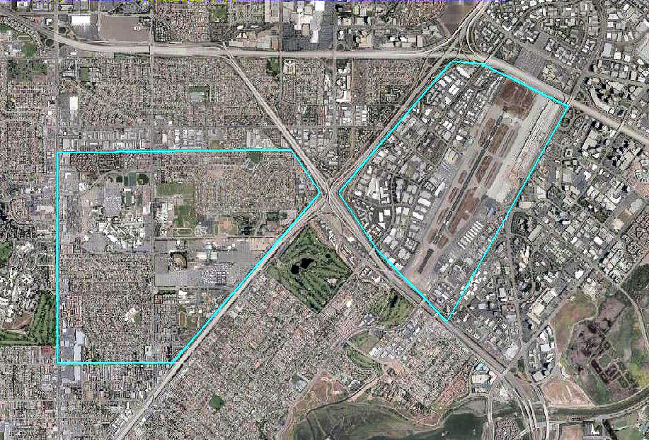
File:Santa Ana Army Air Base CA 2006 USGS.jpg
Size of this preview: 800 × 542 pixels. Other resolutions: 320 × 217 pixels | 640 × 433 pixels | 917 × 621 pixels.
Original file (917 × 621 pixels, file size: 271 KB, MIME type: image/jpeg)
Captions
Captions
Add a one-line explanation of what this file represents
Summary
edit
| Description | |
| Date | |
| Source |
USGS via GPS Visualizer website |
| Author | United States Geological Survey (USGS) |
| Permission (Reusing this file) |
Public domain |
Licensing
edit
This image is in the public domain in the United States because it only contains materials that originally came from the United States Geological Survey, an agency of the United States Department of the Interior. For more information, see the official USGS copyright policy.
|
File history
Click on a date/time to view the file as it appeared at that time.
| Date/Time | Thumbnail | Dimensions | User | Comment | |
|---|---|---|---|---|---|
| current | 01:17, 26 November 2011 | | 917 × 621 (271 KB) | Bwmoll3 (talk | contribs) | adjusted scope of base to include Orange County Airport |
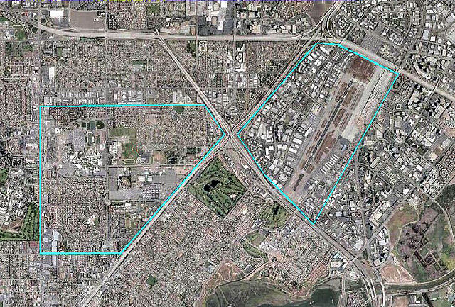
| 00:21, 26 November 2011 |  | 888 × 741 (309 KB) | Bwmoll3 (talk | contribs) | {{Information |Description ={{en|1=Santa Ana Army Air Base CA 2006 USGS}} |Source =http://www.gpsvisualizer.com/map_input?special=wikipedia&format=google&bg_map=usgs_aerial&sp_width=50km&form:data=type,name,latitude,longitude%0DW,%22Santa%20Ana |
You cannot overwrite this file.
File usage on Commons
The following page uses this file:
File usage on other wikis
The following other wikis use this file:
- Usage on en.wikipedia.org
- Usage on ur.wikipedia.org
- Usage on www.wikidata.org