File:Scandinavian Peninsula (orthographic projection).svg

Size of this PNG preview of this SVG file: 553 × 553 pixels. Other resolutions: 240 × 240 pixels | 480 × 480 pixels | 768 × 768 pixels | 1,024 × 1,024 pixels | 2,048 × 2,048 pixels.
Original file (SVG file, nominally 553 × 553 pixels, file size: 366 KB)
Captions
Captions
Add a one-line explanation of what this file represents
Summary edit
.svg&action=edit§ion=1)
| Description |
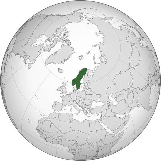
English: Orthographic projection of the Scandinavian Peninsula, which roughly comprises the mainland of Sweden, the mainland of Norway, and the northwestern area of Finland. Note: an approximate boundary delimitation is used for simplified illustrative purposes. |
| Date | |
| Source | Derived from File:Sweden (orthographic projection).svg |
| Author | Rob984 |
.svg)
Licensing edit
.svg&action=edit§ion=2)
I, the copyright holder of this work, hereby publish it under the following license:
This file is licensed under the Creative Commons Attribution-Share Alike 4.0 International license.
- You are free:
- to share – to copy, distribute and transmit the work
- to remix – to adapt the work
- Under the following conditions:
- attribution – You must give appropriate credit, provide a link to the license, and indicate if changes were made. You may do so in any reasonable manner, but not in any way that suggests the licensor endorses you or your use.
- share alike – If you remix, transform, or build upon the material, you must distribute your contributions under the same or compatible license as the original.
File history
Click on a date/time to view the file as it appeared at that time.
| Date/Time | Thumbnail | Dimensions | User | Comment | |
|---|---|---|---|---|---|
| current | 00:24, 15 March 2020 | | 553 × 553 (366 KB) | Obsuser (talk | contribs) | Reverted to version as of 21:42, 10 March 2020 (UTC) |
| 22:33, 14 March 2020 |  | 553 × 553 (368 KB) | Yrsari (talk | contribs) | Natural border also in northeast: Kemijoki, Lake Inari and Paatsjoki River. | |
| 21:42, 10 March 2020 |  | 553 × 553 (366 KB) | Obsuser (talk | contribs) | no; Reverted to version as of 03:42, 29 December 2019 (UTC) | |
| 21:03, 22 January 2020 |  | 553 × 553 (368 KB) | Yrsari (talk | contribs) | Northern east border line via Kemijoki, Lake Inari and Paatsjoki River. | |
| 03:42, 29 December 2019 |  | 553 × 553 (366 KB) | Rob984 (talk | contribs) | User created page with UploadWizard |
You cannot overwrite this file.
File usage on Commons
There are no pages that use this file.
File usage on other wikis
The following other wikis use this file:
- Usage on en.wikipedia.org
- Usage on fi.wikipedia.org
- Usage on pt.wikipedia.org
- Usage on sl.wikipedia.org
- Usage on uz.wikipedia.org
.svg&oldid=753998836)