File:Schaftreppe Pirna (44559282531).jpg
Size of this preview: 450 × 600 pixels. Other resolutions: 180 × 240 pixels | 360 × 480 pixels | 576 × 768 pixels | 768 × 1,024 pixels | 1,536 × 2,048 pixels | 2,736 × 3,648 pixels.
Original file (2,736 × 3,648 pixels, file size: 5.52 MB, MIME type: image/jpeg)
Captions
Captions
Add a one-line explanation of what this file represents
Summary edit
.jpg&action=edit§ion=1)
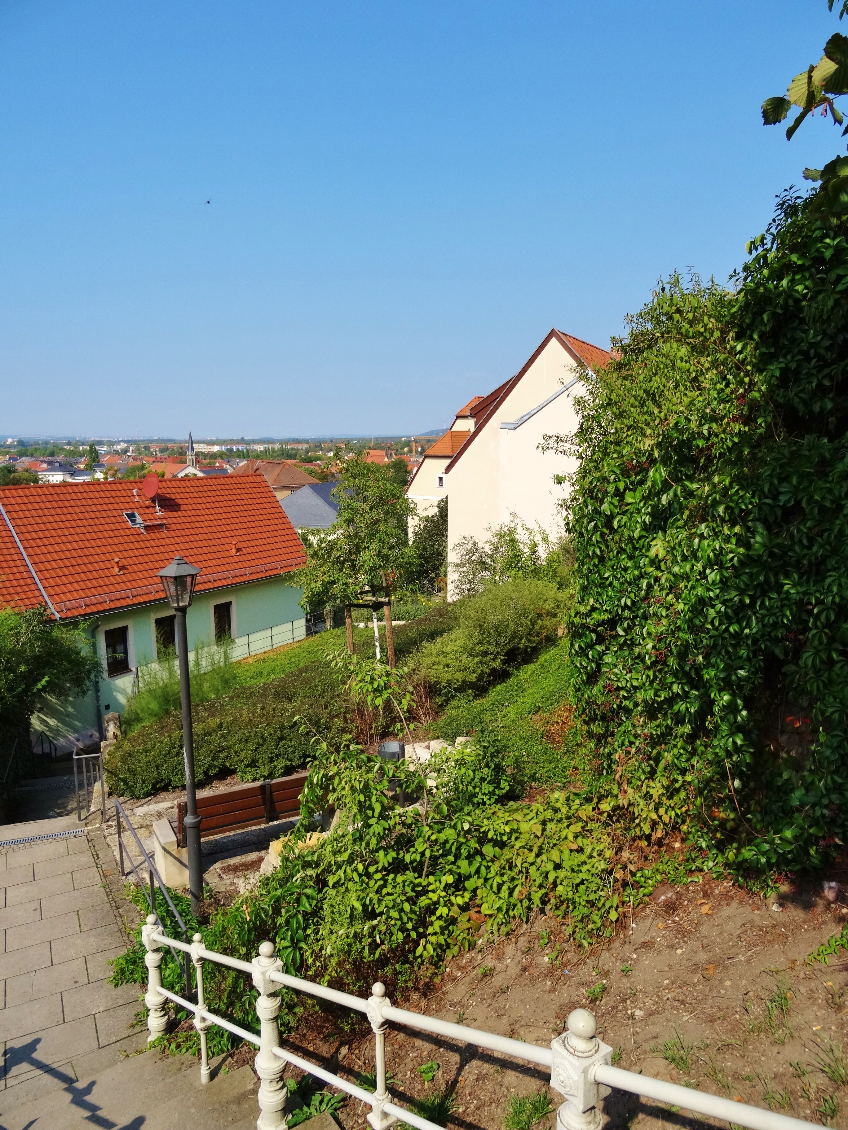
| Description | La escalera "Schaftreppe" de Pirna. Es una escalera que es muy empinada y solía estar totalmente desnuda. Casi la mitad de las casas antiguas fueron demolidas sin reemplazo después de que se derrumbaron. | |||||
| Date | ||||||
| Source | Schaftreppe Pirna | |||||
| Author |
Bambizoe from Dresden, Germany
|
|||||
| Permission (Reusing this file) |
|
|||||
| Other versions |
| Camera location | | View this and other nearby images on: OpenStreetMap |
|---|
.jpg¶ms=050.958775_N_0013.945955_E_globe:Earth_type:camera_source:Flickr_&language=en)
File history
Click on a date/time to view the file as it appeared at that time.
| Date/Time | Thumbnail | Dimensions | User | Comment | |
|---|---|---|---|---|---|
| current | 04:45, 19 December 2019 | | 2,736 × 3,648 (5.52 MB) | SamsonBVB (talk | contribs) | Transferred from Flickr via #flickr2commons |
You cannot overwrite this file.
File usage on Commons
There are no pages that use this file.
.jpg&oldid=653514818)