File:SchlossLangeaisDonjon.jpg

Size of this preview: 800 × 600 pixels. Other resolutions: 320 × 240 pixels | 640 × 480 pixels | 1,024 × 768 pixels | 1,280 × 960 pixels | 2,304 × 1,728 pixels.
Original file (2,304 × 1,728 pixels, file size: 1.71 MB, MIME type: image/jpeg)
Captions
Captions
Add a one-line explanation of what this file represents
| Camera location | | View this and other nearby images on: OpenStreetMap |
|---|
| Description |
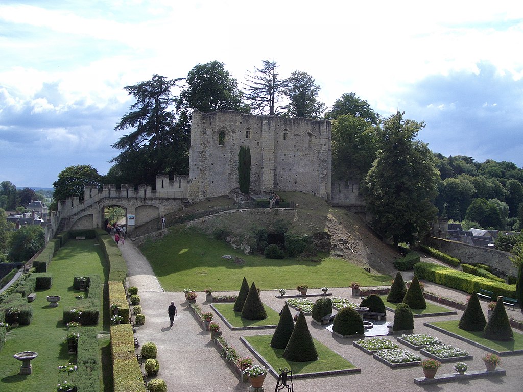
Deutsch: Schloss Langeais, Ruine des Donjons
English: The château de Langeais, ruin of the donjon
Français : Le château de Langeais, ruine du donjon Old Keep |
| Date | |
| Source | Flickr |
| Author | Peter McCurdy |
This file is licensed under the Creative Commons Attribution-Share Alike 2.0 Generic license.
- You are free:
- to share – to copy, distribute and transmit the work
- to remix – to adapt the work
- Under the following conditions:
- attribution – You must give appropriate credit, provide a link to the license, and indicate if changes were made. You may do so in any reasonable manner, but not in any way that suggests the licensor endorses you or your use.
- share alike – If you remix, transform, or build upon the material, you must distribute your contributions under the same or compatible license as the original.
| This image, originally posted to Flickr, was reviewed on 05/02/2008 by the administrator or reviewer Nick, who confirmed that it was available on Flickr under the stated license on that date. |
File history
Click on a date/time to view the file as it appeared at that time.
| Date/Time | Thumbnail | Dimensions | User | Comment | |
|---|---|---|---|---|---|
| current | 20:22, 4 February 2008 | | 2,304 × 1,728 (1.71 MB) | Sir Gawain (talk | contribs) | {{Location|47|19|26.7|N|0|24|18.4|E|type:landmark_region:FR-F_scale:5000}} {{Flickr |description= {{de|Schloss Langeais, Ruine des Donjons}} {{en|The château de Langeais, ruin of the donjon}} {{fr|Le château de Langeais, ruine du donjon}} |flickr_url=ht |
You cannot overwrite this file.
File usage on Commons
The following 2 pages use this file:
File usage on other wikis
The following other wikis use this file:
- Usage on fi.wikipedia.org
- Usage on fr.wikipedia.org