File:ScotchmansCreekTrail-RhondaSt-AnthonyDrv-Map.png
No higher resolution available.
ScotchmansCreekTrail-RhondaSt-AnthonyDrv-Map.png (674 × 530 pixels, file size: 98 KB, MIME type: image/png)
Captions
Captions
Add a one-line explanation of what this file represents
Summary
edit
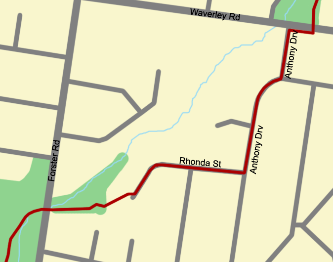
| Description | Map of path through residential streets Rhonda St and Anthony Drv on the Scotchmans Creek Trail |
| Date | |
| Source | Own work |
| Author | Glen Pringle |
| Permission (Reusing this file) |
GFDL |
| Other versions | Full map of trail is ScotchmansCreekTrail-Map.png |
Licensing
edit
I, the copyright holder of this work, hereby publish it under the following licenses:

|
Permission is granted to copy, distribute and/or modify this document under the terms of the GNU Free Documentation License, Version 1.2 or any later version published by the Free Software Foundation; with no Invariant Sections, no Front-Cover Texts, and no Back-Cover Texts. A copy of the license is included in the section entitled GNU Free Documentation License. |
| This file is licensed under the Creative Commons Attribution-Share Alike 3.0 Unported license. | ||
| ||
| This licensing tag was added to this file as part of the GFDL licensing update. |
You may select the license of your choice.
File history
Click on a date/time to view the file as it appeared at that time.
| Date/Time | Thumbnail | Dimensions | User | Comment | |
|---|---|---|---|---|---|
| current | 20:07, 3 February 2007 | | 674 × 530 (98 KB) | Helminth (talk | contribs) | {{Information |Description=Map of path through residential streets Rhonda St and Anthony Drv on the Scotchmans Creek Trail |Source=Own work |Date=4 February, 2007 |Author=Glen Pringle |Permission=GFDL |other_versions=Full map of trail is ScotchmansCreekTr |
You cannot overwrite this file.
File usage on Commons
There are no pages that use this file.