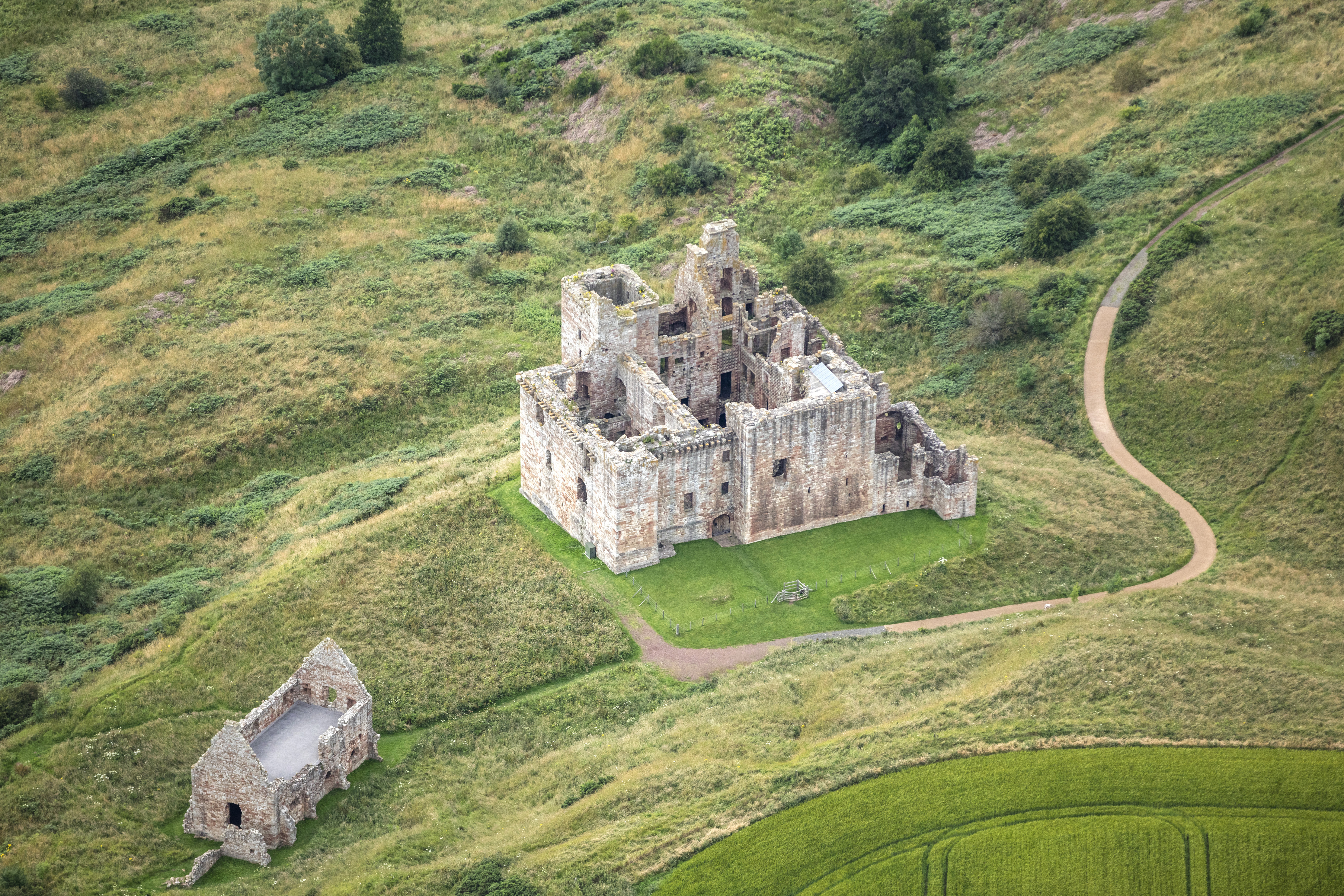
File:Scotland-2016-Aerial-Crichton Castle.jpg
Size of this preview: 800 × 533 pixels. Other resolutions: 320 × 213 pixels | 640 × 427 pixels | 1,024 × 683 pixels | 1,280 × 853 pixels | 2,560 × 1,707 pixels | 6,300 × 4,200 pixels.
Original file (6,300 × 4,200 pixels, file size: 10.5 MB, MIME type: image/jpeg)
Captions
Captions
Add a one-line explanation of what this file represents
Summary edit
| Description |
|
|
| Date | ||
| Source | Own work | |
| Author | Godot13 | |
| Attribution (required by the license) | Andrew Shiva / Wikipedia / | |
| Camera location | | View this and other nearby images on: OpenStreetMap |
|---|
|
The photographic reproduction of this work is covered under United Kingdom law (Section 62 of the Copyright, Designs and Patents Act 1988), which states that it is not an infringement to take photographs of buildings, or of sculptures, models for buildings, or works of artistic craftsmanship permanently located in a public place or in premises open to the public. This does not apply to two-dimensional graphic works such as posters or murals. See COM:CRT/United Kingdom#Freedom of panorama for more information.
|
Licensing edit
I, the copyright holder of this work, hereby publish it under the following license:
This file is licensed under the Creative Commons Attribution-Share Alike 4.0 International license.
- You are free:
- to share – to copy, distribute and transmit the work
- to remix – to adapt the work
- Under the following conditions:
- attribution – You must give appropriate credit, provide a link to the license, and indicate if changes were made. You may do so in any reasonable manner, but not in any way that suggests the licensor endorses you or your use.
- share alike – If you remix, transform, or build upon the material, you must distribute your contributions under the same or compatible license as the original.

|
The copyright holder of this file, Andrew Shiva, allows anyone to use it for any purpose, provided that the copyright holder is properly attributed. Redistribution, derivative work, commercial use, and all other use is permitted. |
Attribution:
Use or reproduction of this image outside of Wikipedia must give the original photographer (Andrew Shiva) credit. Although not required, it would be appreciated if a message was left here indicating where this image was being used.
|

|
This image was uploaded as part of Wiki Loves Monuments 2016.
|
File history
Click on a date/time to view the file as it appeared at that time.
| Date/Time | Thumbnail | Dimensions | User | Comment | |
|---|---|---|---|---|---|
| current | 09:17, 10 September 2016 | | 6,300 × 4,200 (10.5 MB) | Godot13 (talk | contribs) | User created page with UploadWizard |
You cannot overwrite this file.
File usage on Commons
There are no pages that use this file.
File usage on other wikis
The following other wikis use this file:
- Usage on en.wikipedia.org
- Usage on eu.wikipedia.org