File:Sendero en Los Tilos 2 - panoramio.jpg

Size of this preview: 800 × 600 pixels. Other resolutions: 320 × 240 pixels | 640 × 480 pixels | 1,024 × 768 pixels.
Original file (1,024 × 768 pixels, file size: 1,009 KB, MIME type: image/jpeg)
Captions
Captions
Add a one-line explanation of what this file represents
Summary
edit
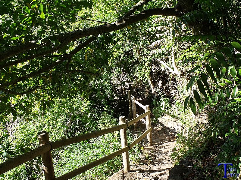
| Description | Sendero en Los Tilos 2 | ||
| Date | 14 April 2014 (original upload date) | ||
| Source | https://web.archive.org/web/20161030133828/http://www.panoramio.com/photo/105646342 | ||
| Author | Toni Teror | ||
| Permission (Reusing this file) |
This file is licensed under the Creative Commons Attribution 3.0 Unported license. Attribution: Toni Teror
|
||
| Tags (from Panoramio photo page) | Comarca Norte, Gran Canaria, Moya |
| Camera location | | View this and other nearby images on: OpenStreetMap |
|---|

|
The categories of this image need checking. You can do so here.
|
File history
Click on a date/time to view the file as it appeared at that time.
| Date/Time | Thumbnail | Dimensions | User | Comment | |
|---|---|---|---|---|---|
| current | 01:49, 1 April 2017 | | 1,024 × 768 (1,009 KB) | Panoramio upload bot (talk | contribs) | == {{int:filedesc}} == {{Information |description=Sendero en Los Tilos 2 |date={{Original upload date|2014-04-14}} |source=http://www.panoramio.com/photo/105646342 |author=[http://www.panoramio.com/user/4087474?with_photo_id=105646342 Toni Teror] |perm... |
You cannot overwrite this file.
File usage on Commons
There are no pages that use this file.