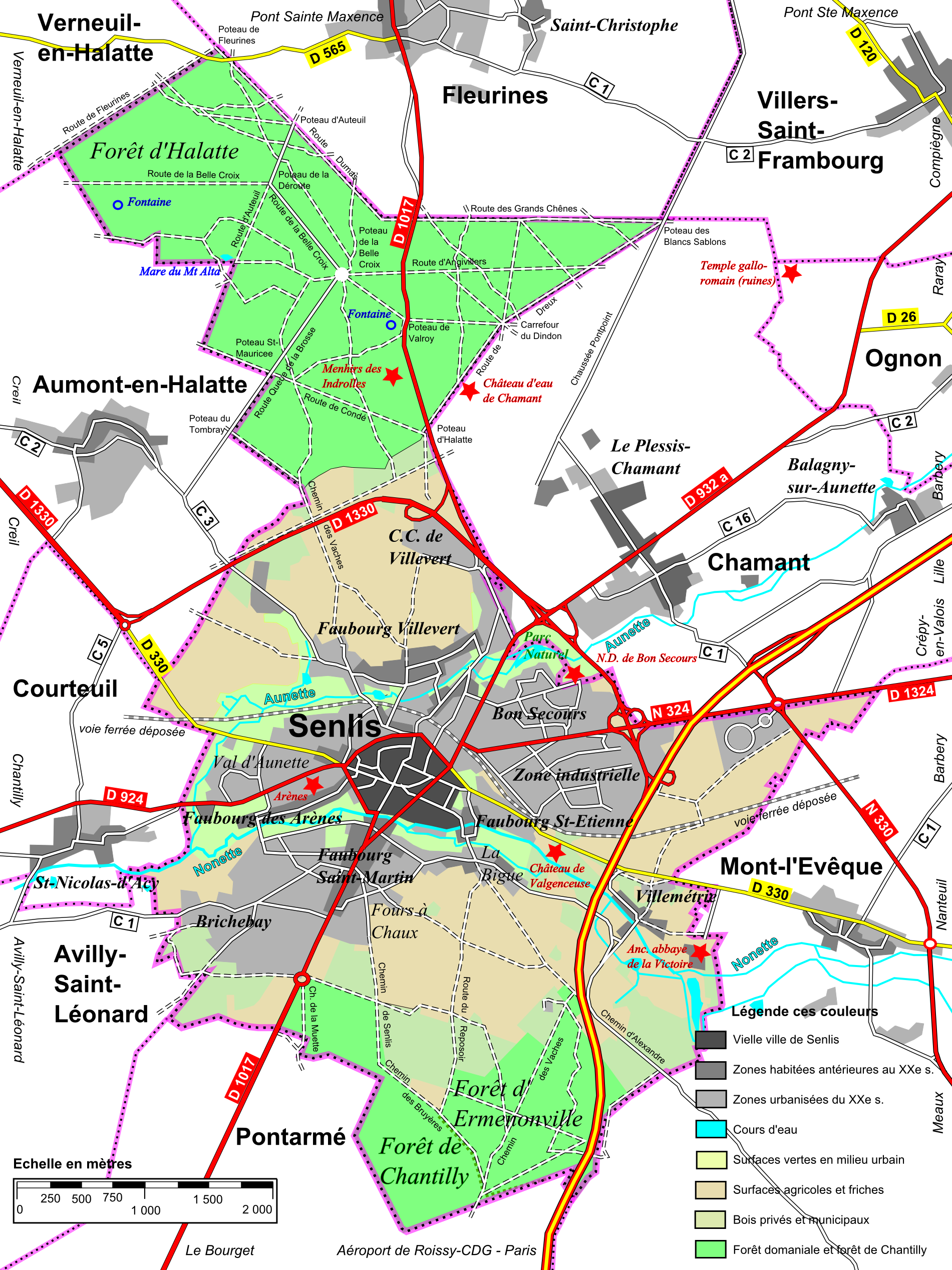
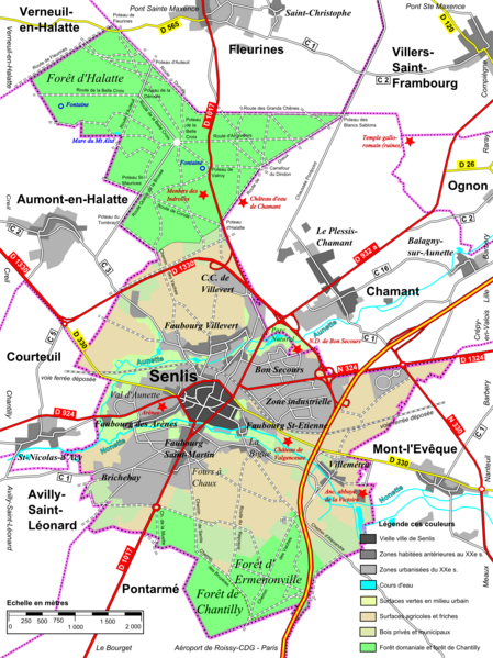
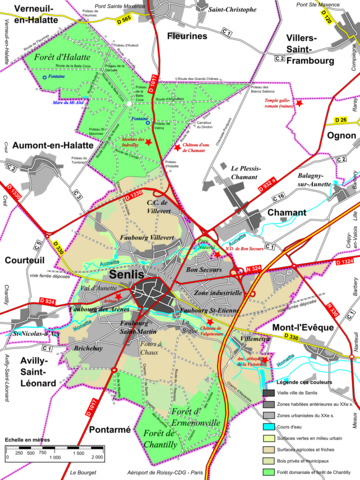
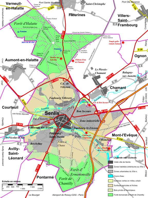
File:Senlis, topographie.png
Size of this preview: 449 × 599 pixels. Other resolutions: 180 × 240 pixels | 360 × 480 pixels | 576 × 768 pixels | 767 × 1,024 pixels | 1,901 × 2,536 pixels.
Original file (1,901 × 2,536 pixels, file size: 2 MB, MIME type: image/png)
Captions
Captions
Add a one-line explanation of what this file represents
| Description |
Français : Carte topographique simplifiée de la commune de Senlis (Oise). |
| Date | |
| Source | Own work |
| Author | P.poschadel |
| Permission (Reusing this file) |
This file is licensed under the Creative Commons Attribution-Share Alike 2.0 France license.
 |
File history
Click on a date/time to view the file as it appeared at that time.
| Date/Time | Thumbnail | Dimensions | User | Comment | |
|---|---|---|---|---|---|
| current | 21:23, 14 March 2011 | | 1,901 × 2,536 (2 MB) | P.poschadel (talk | contribs) | White background. |
| 21:22, 14 March 2011 |  | 1,901 × 2,536 (1.92 MB) | P.poschadel (talk | contribs) | White background. | |
| 21:19, 14 March 2011 |  | 1,901 × 2,536 (1.92 MB) | P.poschadel (talk | contribs) | {{Information |Description ={{fr|1=Carte topographique simplifiée de la commune de Senlis (Oise).}} |Source ={{own}} |Author =P.poschadel |Date =2011-03-14 |Permission ={{cc-by-sa-2.0-fr}} |other_vers |
You cannot overwrite this file.
File usage on Commons
There are no pages that use this file.
File usage on other wikis
The following other wikis use this file:
- Usage on eo.wikipedia.org
- Usage on fr.wikipedia.org