File:Senwane, uitloper van Waterberg-platorand, Zuurfontein, a.jpg

Size of this preview: 800 × 533 pixels. Other resolutions: 320 × 213 pixels | 640 × 427 pixels | 1,024 × 683 pixels | 1,280 × 853 pixels | 2,560 × 1,707 pixels | 3,888 × 2,592 pixels.
Original file (3,888 × 2,592 pixels, file size: 3.82 MB, MIME type: image/jpeg)
Captions
Captions
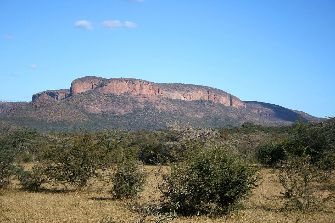
Senwane mountain in Limpopo, South Africa
Summary
edit
| Description |
Afrikaans: Senwane-berg, 'n uitloper van die Waterberg-platorand, hier uit die noorde, van die oewer van die Polostroom af gesien. Die kruin daarvan is 1 347 m bo seevlak.
English: Senwane mountain, a promontory in the Waterberg escarpment rising to 1,347 metres, seen from the north, from Polo-stream, Skrikfontein, Limpopo |
| Date | |
| Source | Own work |
| Author | JMK |
| Object location | | View this and other nearby images on: OpenStreetMap |
|---|
Licensing
edit
I, the copyright holder of this work, hereby publish it under the following license:
This file is licensed under the Creative Commons Attribution-Share Alike 4.0 International license.
- You are free:
- to share – to copy, distribute and transmit the work
- to remix – to adapt the work
- Under the following conditions:
- attribution – You must give appropriate credit, provide a link to the license, and indicate if changes were made. You may do so in any reasonable manner, but not in any way that suggests the licensor endorses you or your use.
- share alike – If you remix, transform, or build upon the material, you must distribute your contributions under the same or compatible license as the original.
File history
Click on a date/time to view the file as it appeared at that time.
| Date/Time | Thumbnail | Dimensions | User | Comment | |
|---|---|---|---|---|---|
| current | 01:06, 1 September 2021 | | 3,888 × 2,592 (3.82 MB) | JMK (talk | contribs) | Uploaded own work with UploadWizard |
You cannot overwrite this file.
File usage on Commons
There are no pages that use this file.