File:Seto Inland Sea Map.png
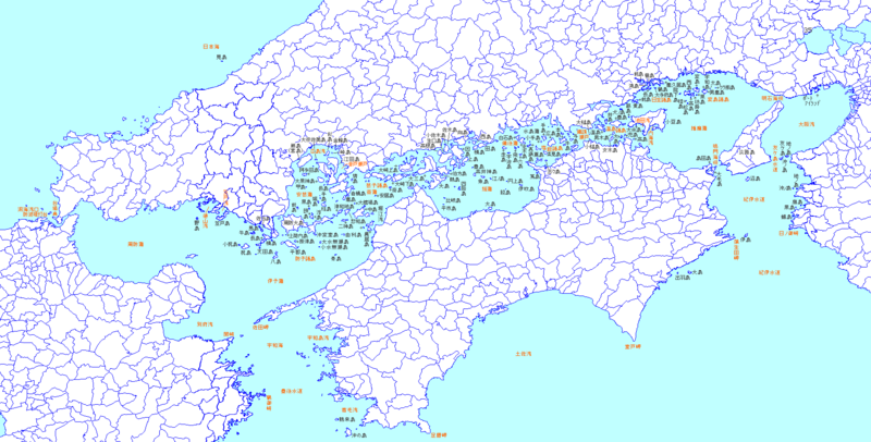
Size of this preview: 800 × 406 pixels. Other resolutions: 320 × 162 pixels | 640 × 325 pixels | 1,024 × 520 pixels | 1,750 × 888 pixels.
Original file (1,750 × 888 pixels, file size: 82 KB, MIME type: image/png)
Captions
Captions
Add a one-line explanation of what this file represents
| Description |
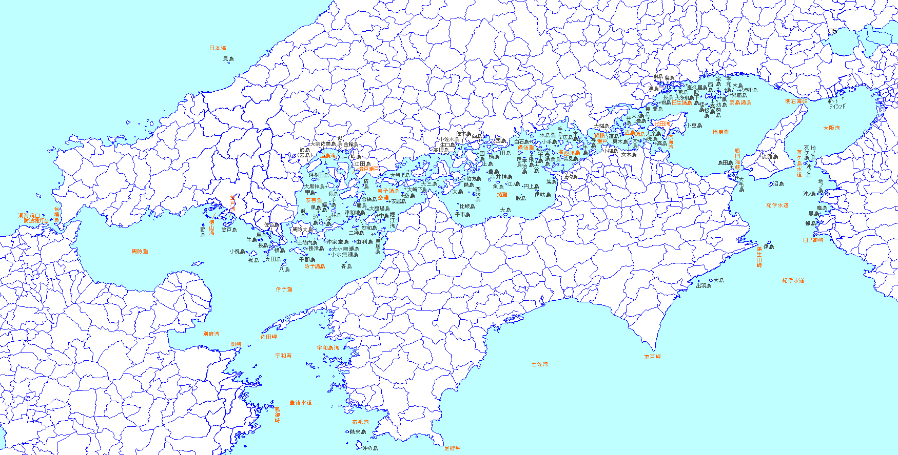
日本語: 瀬戸内海の島嶼(名前付き) |
||||||||
| Source | File:JpLargeMap_Shikoku.pngより作成(スタブ) | ||||||||
| Author | Own work | ||||||||
| Permission (Reusing this file) |
|

File history
Click on a date/time to view the file as it appeared at that time.
| Date/Time | Thumbnail | Dimensions | User | Comment | |
|---|---|---|---|---|---|
| current | 02:54, 10 March 2005 | | 1,750 × 888 (82 KB) | Koba-chan (talk | contribs) | 東西の範囲を拡張して瀬戸内海の海域を表示 |
| 19:30, 21 October 2004 |  | 1,260 × 888 (61 KB) | Koba-chan (talk | contribs) | 瀬戸内海西部の島名追加(四国・九州沿岸未成) | |
| 08:43, 20 October 2004 |  | 1,260 × 888 (58 KB) | Koba-chan (talk | contribs) | 瀬戸内海の島嶼(名前付き)、画像:JpLargeMap_Shikoku.pngより作成(スタブ) |
You cannot overwrite this file.
File usage on Commons
The following page uses this file:
File usage on other wikis
The following other wikis use this file:
- Usage on hy.wikipedia.org
- Usage on www.wikidata.org