File:Seychelles Inner Islands location map.svg

Size of this PNG preview of this SVG file: 707 × 599 pixels. Other resolutions: 283 × 240 pixels | 566 × 480 pixels | 906 × 768 pixels | 1,208 × 1,024 pixels | 2,417 × 2,048 pixels | 1,082 × 917 pixels.
Original file (SVG file, nominally 1,082 × 917 pixels, file size: 20 KB)
Captions
Captions
Add a one-line explanation of what this file represents
Summary
edit
| Description |
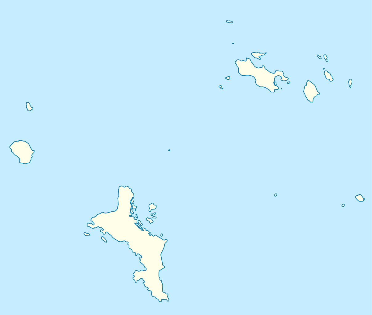
Deutsch: Positionskarte der Inner Islands der Seychellen
Quadratische Plattkarte. Geographische Begrenzung der Karte:
English: Location map of the Inner Islands of the Seychelles
Equirectangular projection. Geographic limits of the map:
|
| Date | |
| Source | Own work |
| Author | NordNordWest |
| Permission (Reusing this file) |
I, the copyright holder of this work, hereby publish it under the following license: This file is licensed under the Creative Commons Attribution-Share Alike 3.0 Unported license.
|

|
This map has been made or improved in the German Kartenwerkstatt (Map Lab). You can propose maps to improve as well.
|
File history
Click on a date/time to view the file as it appeared at that time.
| Date/Time | Thumbnail | Dimensions | User | Comment | |
|---|---|---|---|---|---|
| current | 18:07, 22 December 2021 | | 1,082 × 917 (20 KB) | NordNordWest (talk | contribs) | upd |
| 19:09, 31 October 2009 |  | 1,082 × 917 (38 KB) | NordNordWest (talk | contribs) | ||
| 20:25, 30 October 2009 |  | 1,082 × 917 (31 KB) | NordNordWest (talk | contribs) | {{int:filedesc}} {{Information |Description= {{de|Positionskarte der Inner Islands der Seychellen}} Quadratische Plattkarte. Geographische Begrenzung der Karte: * N: 4.16666° S * S: 4.83333° S * W: 55.18333° O * O: 55.96666° O {{en| |
You cannot overwrite this file.
File usage on Commons
The following 34 pages use this file:
- User:NordNordWest/Gallery/Location maps
- File:Anse Boileau in Seychelles (inner islands).svg
- File:Anse Etoile in Seychelles (inner islands).svg
- File:Anse Royale in Seychelles (inner islands).svg
- File:Anse aux Pins in Seychelles (inner islands).svg
- File:Au Cap in Seychelles (inner islands).svg
- File:Baie Lazare in Seychelles (inner islands).svg
- File:Baie Sainte Anne in Seychelles (inner islands).svg
- File:Beau Vallon in Seychelles (inner islands).svg
- File:Bel Air in Seychelles (inner islands).svg
- File:Bel Ombre in Seychelles (inner islands).svg
- File:Cascade in Seychelles (inner islands).svg
- File:East Mahe in Seychelles (inner islands).svg
- File:English River in Seychelles (inner islands).svg
- File:Glacis in Seychelles (inner islands).svg
- File:Grand Anse Praslin in Seychelles (inner islands).svg
- File:Grand Anse in Seychelles (inner islands).svg
- File:Greater Victoria in Seychelles (inner islands).svg
- File:La Digue and Inner Islands in Seychelles (inner Islands).svg
- File:La Digue and Inner Islands in Seychelles (outer islands).svg
- File:Les Mamelles in Seychelles (inner islands).svg
- File:Mahe in Seychelles (inner islands).svg
- File:Mont Buxton in Seychelles (inner islands).svg
- File:Mont Fleuri in Seychelles (inner islands).svg
- File:North Mahe in Seychelles (inner islands).svg
- File:Plaisance in Seychelles (inner islands).svg
- File:Pointe La Rue in Seychelles (inner islands).svg
- File:Port Glaud in Seychelles (inner islands).svg
- File:Praslin in Seychelles (inner islands).svg
- File:Roche Caiman in Seychelles (inner islands).svg
- File:Saint Louis in Seychelles (inner islands).svg
- File:South Mahe in Seychelles (inner islands).svg
- File:Takamaka in Seychelles (inner islands).svg
- File:West Mahe in Seychelles (inner islands).svg
.svg)
.svg)
.svg)
.svg)
.svg)
.svg)
.svg)
.svg)
.svg)
.svg)
.svg)
.svg)
.svg)
.svg)
.svg)
.svg)
.svg)
.svg)
.svg)
.svg)
.svg)
.svg)
.svg)
.svg)
.svg)
.svg)
.svg)
.svg)
.svg)
.svg)
.svg)
.svg)
.svg)
File usage on other wikis
The following other wikis use this file:
- Usage on de.wikipedia.org
- Mahé (Seychellen)
- Praslin
- La Digue
- Curieuse
- Silhouette (Seychellen)
- Cousine (Insel)
- North Island (Seychellen)
- Frégate (Seychellen)
- Cousin (Insel)
- Sainte Anne (Insel)
- Île au Cerf
- Vorlage:Positionskarte Seychellen Inner Islands
- Wikipedia:Kartenwerkstatt/Archiv/2009-11
- Félicité (Insel)
- Aride
- Marianne (Insel)
- Thérèse (Insel)
- Conception Island (Seychellen)
- Moyenne
- Île St. Pierre
- Mamelles Island
- Grande Soeur (Seychellen)
- Round Island (Mahé)
- Petite Soeur (Insel)
- Île aux Vaches Marines
- Congo Rouge
- Trois Frères
- Cap Matoopa
- Mount Harrison (Seychellen)
- Morne Blanc
- Montagne Jasmin
- Copolla
- Mount Simpson (Seychellen)
- Mont Le Niol
- Montagne Brulée
- Usage on eo.wikipedia.org
- Usage on fr.wikipedia.org
View more global usage of this file.