File:Shatin Central Bus Terminus KMB Customer Service Centre 19-03-2023(1).jpg

Size of this preview: 800 × 600 pixels. Other resolutions: 320 × 240 pixels | 640 × 480 pixels | 1,024 × 768 pixels | 1,280 × 960 pixels | 2,560 × 1,920 pixels | 4,032 × 3,024 pixels.
Original file (4,032 × 3,024 pixels, file size: 2.96 MB, MIME type: image/jpeg)
Captions
Captions
Add a one-line explanation of what this file represents
Summary
edit.jpg&action=edit§ion=1)
| Description |
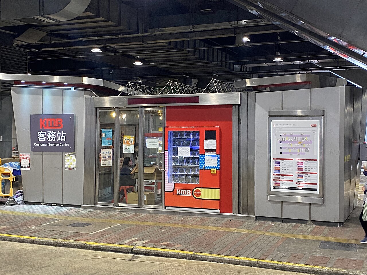
中文:这张照片在沙田市中心拍摄。 中文(简体):这张照片在沙田市中心拍摄。 中文(中国大陆):这张照片在沙田市中心拍摄。 中文(马来西亚):这张照片在沙田市中心拍摄。 中文(新加坡):这张照片在沙田市中心拍摄。 中文(繁體):這張照片在沙田市中心拍攝。 中文(香港):這張照片在沙田市中心拍攝。 中文(澳門):這張照片在沙田市中心拍攝。 中文(臺灣):這張照片在沙田市中心拍攝。 Čeština: Tato fotografie byla pořízena v centru města Sha Tin. Dansk: Dette billede er taget i downtown Sha Tin. Deutsch: Dieses Foto wurde in der Innenstadt von Sha Tin aufgenommen. English: This photo was taken in downtown Sha Tin. Español: Esta foto fue tomada en el centro de Sha Tin. Suomi: Tämä kuva on otettu Sha Tinin keskustassa. Français : Cette photo a été prise au centre-ville de Sha Tin. Magyar: Ez a fénykép Sha Tin belvárosában készült. Hrvatski: Ova fotografija je snimljena u centru grada Sha Tin. Italiano: Questa foto è stata scattata nel centro di Sha Tin. Nederlands: Deze foto is genomen in het centrum van Sha Tin. Polski: To zdjęcie zostało zrobione w centrum Sha Tin. Português: Esta foto foi tirada no centro de Sha Tin. Română: Această fotografie a fost făcută în centrul orașului Sha Tin. Slovenčina: Táto fotografia bola urobená v centre mesta Sha Tin. Slovenščina: Ta fotografija je bila posneta v središču mesta Sha Tin. Svenska: Detta foto togs i centrala Sha Tin. 日本語: この写真は沙田のダウンタウンで撮影されました。 한국어: 이 사진은 샤틴 시내에서 찍은 것입니다. Български: Тази снимка е направена в центъра на Ша Тин. Македонски: Оваа фотографија е направена во центарот на Ша Тин. Русский: Эта фотография была сделана в центре города Ша Тин. Українська: Ця фотографія була зроблена в центрі міста Ша Тін. Bahasa Indonesia: Foto ini diambil di pusat kota Sha Tin. ไทย: ภาพนี้ถ่ายในตัวเมืองซาถิ่น Tiếng Việt: Bức ảnh này được chụp ở trung tâm thành phố Sha Tin. العربية: التقطت هذه الصورة في وسط مدينة شا تين. فارسی: این عکس در مرکز شهر شا تین گرفته شده است. |
| Date | |
| Source | Own work |
| Author | LN9267 |
| Camera location | | View this and other nearby images on: OpenStreetMap |
|---|
.jpg¶ms=022.382361_N_0114.187553_E_globe:Earth_type:camera_heading:104.46&language=en)
Licensing
edit.jpg&action=edit§ion=2)
I, the copyright holder of this work, hereby publish it under the following license:
This file is licensed under the Creative Commons Attribution-Share Alike 4.0 International license.
- You are free:
- to share – to copy, distribute and transmit the work
- to remix – to adapt the work
- Under the following conditions:
- attribution – You must give appropriate credit, provide a link to the license, and indicate if changes were made. You may do so in any reasonable manner, but not in any way that suggests the licensor endorses you or your use.
- share alike – If you remix, transform, or build upon the material, you must distribute your contributions under the same or compatible license as the original.
File history
Click on a date/time to view the file as it appeared at that time.
| Date/Time | Thumbnail | Dimensions | User | Comment | |
|---|---|---|---|---|---|
| current | 12:41, 19 March 2023 | | 4,032 × 3,024 (2.96 MB) | LN9267 (talk | contribs) | Uploaded own work with UploadWizard |
You cannot overwrite this file.
File usage on Commons
There are no pages that use this file.
.jpg&oldid=770409477)