File:Sheppardafb.jpg

Size of this preview: 365 × 600 pixels. Other resolutions: 146 × 240 pixels | 386 × 634 pixels.
Original file (386 × 634 pixels, file size: 78 KB, MIME type: image/jpeg)
Captions
Captions
Add a one-line explanation of what this file represents
Summary
edit
| Description |
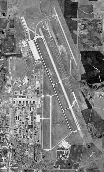
English: USGS orthophoto of Sheppard Air Force Base and Wichita Falls Municipal Airport in Texas, United States |
| Date | |
| Source |
USGS The National Map, via MSR Maps (formerly TerraServer-USA) |
| Author | United States Geological Survey (USGS) |
| Permission (Reusing this file) |
Public domain |
Licensing
edit
This image is in the public domain in the United States because it only contains materials that originally came from the United States Geological Survey, an agency of the United States Department of the Interior. For more information, see the official USGS copyright policy.
|
Original upload log
edit
The original description page was here. All following user names refer to en.wikipedia.
- 2008-01-16 01:09 Bwmoll3 386×634×8 (79595 bytes) Tyler Airport, TX - 18 Feb 1996 Source: United States Geological Survey digital orthophotoquad via TerraService WebMap Server
File history
Click on a date/time to view the file as it appeared at that time.
| Date/Time | Thumbnail | Dimensions | User | Comment | |
|---|---|---|---|---|---|
| current | 10:01, 10 February 2008 | | 386 × 634 (78 KB) | File Upload Bot (Magnus Manske) (talk | contribs) | {{BotMoveToCommons|en.wikipedia}} {{Information |Description={{en|Tyler Airport, TX - 18 Feb 1996 Source: United States Geological Survey digital orthophotoquad via TerraService WebMap Server}} |Source=Transferred from [http://en.wikipedia.org en.wikipe |
You cannot overwrite this file.
File usage on Commons
The following page uses this file:
File usage on other wikis
The following other wikis use this file:
- Usage on ceb.wikipedia.org
- Usage on de.wikipedia.org
- Usage on en.wikipedia.org
- Usage on en.wikivoyage.org
- Usage on it.wikipedia.org
- Usage on nl.wikipedia.org
- Usage on no.wikipedia.org
- Usage on ro.wikipedia.org
- Usage on ur.wikipedia.org
- Usage on www.wikidata.org