File:Shinall Mountain.jpg

Size of this preview: 800 × 533 pixels. Other resolutions: 320 × 213 pixels | 640 × 427 pixels | 1,024 × 683 pixels | 1,280 × 853 pixels | 1,578 × 1,052 pixels.
Original file (1,578 × 1,052 pixels, file size: 337 KB, MIME type: image/jpeg)
Captions
Captions
Add a one-line explanation of what this file represents
Summary
edit
| Description |
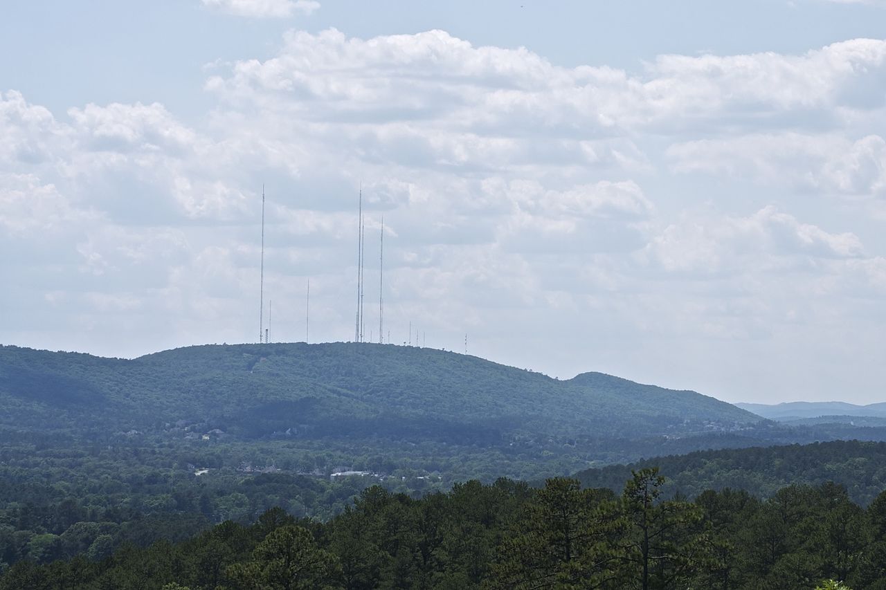
English: The highest point in Pulaski County, 1056 feet / 322 meters.
As seen from the power line right-of-way/trail along the north side of Conner Park, Little Rock, Arkansas |
| Date | |
| Source | Own work |
| Author | Eric in SF |
Licensing
edit
Please make sure you understand the terms of the license. In particular, you must indicate whether you made changes to the material and you must clearly distribute the material under the ShareAlike license. You cannot prevent others from using your changes in their own works.
I, the copyright holder of this work, hereby publish it under the following licenses:
This file is licensed under the Creative Commons Attribution-Share Alike 3.0 Unported license.
- You are free:
- to share – to copy, distribute and transmit the work
- to remix – to adapt the work
- Under the following conditions:
- attribution – You must give appropriate credit, provide a link to the license, and indicate if changes were made. You may do so in any reasonable manner, but not in any way that suggests the licensor endorses you or your use.
- share alike – If you remix, transform, or build upon the material, you must distribute your contributions under the same or compatible license as the original.

|
Permission is granted to copy, distribute and/or modify this document under the terms of the GNU Free Documentation License, Version 1.2 or any later version published by the Free Software Foundation; with no Invariant Sections, no Front-Cover Texts, and no Back-Cover Texts. A copy of the license is included in the section entitled GNU Free Documentation License. |
You may select the license of your choice.
File history
Click on a date/time to view the file as it appeared at that time.
| Date/Time | Thumbnail | Dimensions | User | Comment | |
|---|---|---|---|---|---|
| current | 12:47, 2 June 2012 | | 1,578 × 1,052 (337 KB) | Eric in SF (talk | contribs) | {{Information |Description ={{en|1=The highest point in Pulaski County, 1056 feet / 322 meters. As seen from the power line right-of-way/trail along the north side of Conner Park, Little Rock, Arkansas}} |Source ={{own}} |Author =[[... |
You cannot overwrite this file.
File usage on Commons
There are no pages that use this file.
File usage on other wikis
The following other wikis use this file:
- Usage on arz.wikipedia.org
- Usage on ceb.wikipedia.org
- Usage on en.wikipedia.org
- Usage on www.wikidata.org