File:Ship detection testdata (2023-07-02-00-19-24 UMBRA-04).tiff

Size of this JPG preview of this TIF file: 600 × 600 pixels. Other resolutions: 240 × 240 pixels | 480 × 480 pixels | 768 × 768 pixels | 1,024 × 1,024 pixels | 2,048 × 2,048 pixels | 8,513 × 8,513 pixels.

Original file (8,513 × 8,513 pixels, file size: 102.26 MB, MIME type: image/tiff, 6 pages)
Captions
Captions
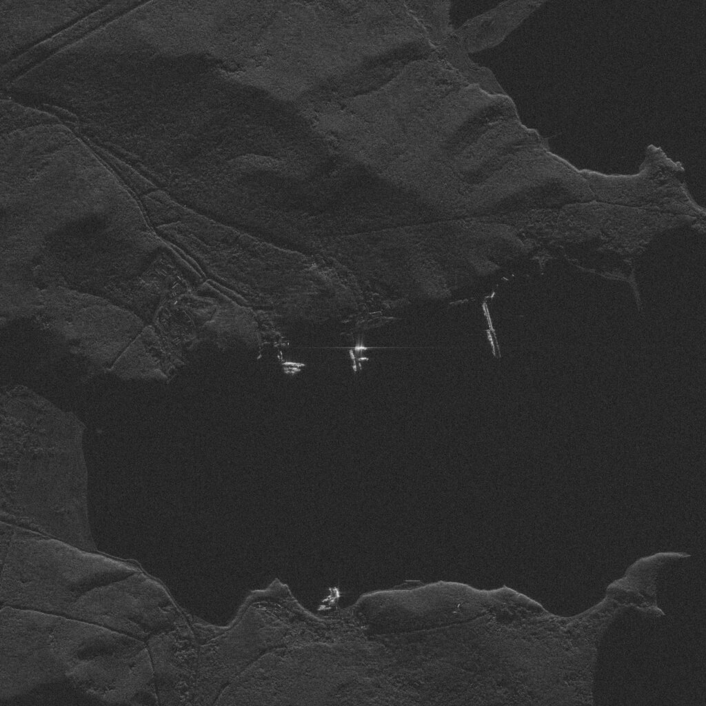
ship_detection_testdata (2023-07-02-00-19-24_UMBRA-04)
Summary
edit| Description |
English: ship_detection_testdata (2023-07-02-00-19-24_UMBRA-04) |
| Date | Taken on 2 July 2023, 00:19:27 |
| Source | |
| Author | Umbra Lab, Inc. |
| Permission (Reusing this file) |
English: See Umbra-Open-Data Image Collection data license. Reverse geocoding in description and category: Data © OpenStreetMap contributors, ODbL 1.0. |
| Object location | | View this and other nearby images on: OpenStreetMap |
|---|
Licensing
editThis file is licensed under the Creative Commons Attribution 4.0 International license.
- You are free:
- to share – to copy, distribute and transmit the work
- to remix – to adapt the work
- Under the following conditions:
- attribution – You must give appropriate credit, provide a link to the license, and indicate if changes were made. You may do so in any reasonable manner, but not in any way that suggests the licensor endorses you or your use.
File history
Click on a date/time to view the file as it appeared at that time.
| Date/Time | Thumbnail | Dimensions | User | Comment | |
|---|---|---|---|---|---|
| current | 22:20, 2 June 2024 |  | 8,513 × 8,513, 6 pages (102.26 MB) | OptimusPrimeBot (talk | contribs) | #Spacemedia - Upload of https://umbra-open-data-catalog.s3.amazonaws.com/sar-data/tasks/ship_detection_testdata/3986b4bf-7c6b-442f-8f3f-c2b4e00e4ca3/2023-07-02-00-19-24_UMBRA-04/2023-07-02-00-19-24_UMBRA-04_GEC.tif via Commons:Spacemedia |
You cannot overwrite this file.
File usage on Commons
There are no pages that use this file.