File:Ships on a 1932 map of China.jpg
Size of this preview: 799 × 367 pixels. Other resolutions: 320 × 147 pixels | 640 × 294 pixels | 1,024 × 470 pixels | 1,894 × 870 pixels.
Original file (1,894 × 870 pixels, file size: 314 KB, MIME type: image/jpeg)
Captions
Captions
Add a one-line explanation of what this file represents
Summary
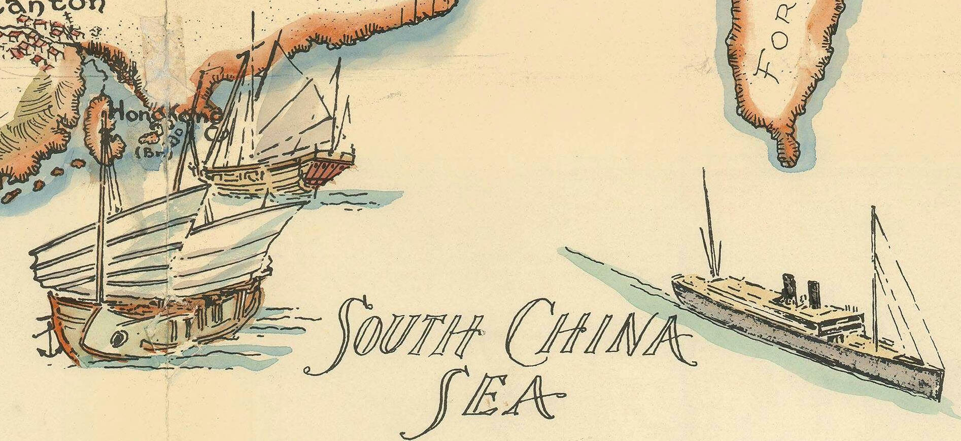
edit| Description |
English: 1932 pictorial map of China |
| Date | |
| Source | https://www.geographicus.com/P/AntiqueMap/china2-southard-1932 |
| Author | Frank Randolph Southard |
| Other versions |

Licensing
edit
This work is in the public domain because it was published in the United States between 1929 and 1963, and although there may or may not have been a copyright notice, the copyright was not renewed. For further explanation, see Commons:Hirtle chart and the copyright renewal logs. Note that it may still be copyrighted in jurisdictions that do not apply the rule of the shorter term for US works (depending on the date of the author's death), such as Canada (70 years p.m.a.), Mainland China (50 years p.m.a., not Hong Kong or Macao), Germany (70 years p.m.a.), Mexico (100 years p.m.a.), Switzerland (70 years p.m.a.), and other countries with individual treaties.
|
 |
File history
Click on a date/time to view the file as it appeared at that time.
| Date/Time | Thumbnail | Dimensions | User | Comment | |
|---|---|---|---|---|---|
| current | 21:51, 12 December 2022 | | 1,894 × 870 (314 KB) | Enyavar (talk | contribs) | File:1932 pictorial map of China.jpg cropped 79 % horizontally, 87 % vertically using CropTool with precise mode. |
You cannot overwrite this file.
File usage on Commons
The following page uses this file: