File:Sicily map-blank.svg

Size of this PNG preview of this SVG file: 800 × 533 pixels. Other resolutions: 320 × 213 pixels | 640 × 427 pixels | 1,024 × 683 pixels | 1,280 × 853 pixels | 2,560 × 1,707 pixels | 2,373 × 1,582 pixels.
Original file (SVG file, nominally 2,373 × 1,582 pixels, file size: 473 KB)
Captions
Captions
Add a one-line explanation of what this file represents
Summary
edit| Description |
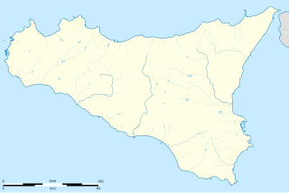
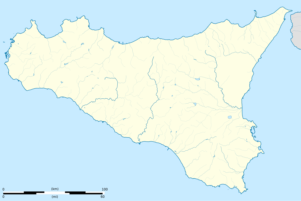
English: Blank map of Sicily island, Italy.
Equirectangular projection, WGS84 datum. Geographic limits of the map: West: 012° 22.5' E, East: 015° 45' E, North: 38° 21.6' N, South: 36° 35' N. Standard meridian: 013° 45' E, True scale parallel: 37° 45' N. Français : Carte de l'île de Sicile, en Italie. Projection cylindrique équidistante, système géodésique WGS84. Limites géographiques de la carte : Ouest 012° 22.5' E, Est 015° 45' E, Nord 38° 21.6' N, Sud 36° 35' N. Méridien de référence 013° 45' E, parallèle de référence 37° 45' N. |
| Date | (UTC) |
| Source |
English: * Shorelines and lakes: NASA Shuttle Radar Topography Mission (SWBD) (public domain)
Français : * Rivières principales : NGDC GSHHS (domaine public)
|
| Author | |
| Attribution (required by the license) | © Sémhur / Wikimedia Commons / |
| Other versions |
|
| SVG development |


| Object location | | View this and other nearby images on: OpenStreetMap |
|---|
Licensing
edit
I, the copyright holder of this work, hereby publish it under the following licenses:
| Copyleft: This work of art is free; you can redistribute it and/or modify it according to terms of the Free Art License. You will find a specimen of this license on the Copyleft Attitude site as well as on other sites. |
This file is licensed under the Creative Commons Attribution-Share Alike Attribution-Share Alike 4.0 International, 3.0 Unported, 2.5 Generic, 2.0 Generic and 1.0 Generic license.
- You are free:
- to share – to copy, distribute and transmit the work
- to remix – to adapt the work
- Under the following conditions:
- attribution – You must give appropriate credit, provide a link to the license, and indicate if changes were made. You may do so in any reasonable manner, but not in any way that suggests the licensor endorses you or your use.
- share alike – If you remix, transform, or build upon the material, you must distribute your contributions under the same or compatible license as the original.
You may select the license of your choice.
File history
Click on a date/time to view the file as it appeared at that time.
| Date/Time | Thumbnail | Dimensions | User | Comment | |
|---|---|---|---|---|---|
| current | 18:23, 21 January 2015 | | 2,373 × 1,582 (473 KB) | Sémhur (talk | contribs) | Trait de côte plus épais, pays ou province autre que la Sicile en gris, suppression des traits de coordonnées. |
| 20:11, 2 January 2015 |  | 2,373 × 1,582 (479 KB) | Sémhur (talk | contribs) | == {{int:filedesc}} == {{Information |Description= {{en|1=Blank map of Sicily island, Italy.<br>Equirectangular projection, WGS84 datum. Geographic limits of the map: West: 012° 22.5' E, East: 015° 45' E, North: 38° 21.6' N, South: 36... |
You cannot overwrite this file.
File usage on Commons
The following 6 pages use this file:
File usage on other wikis
The following other wikis use this file:
- Usage on cs.wikipedia.org
- Usage on fr.wikipedia.org
- Usage on it.wikipedia.org
- Messana
- Castello di Milazzo
- Abacano
- Fortino di Mazzallakkar
- Castello normanno (Paternò)
- Castello di Agrigento
- Torre del caricatore di Girgenti
- Castello di Barrugeri
- Castello di Bivona
- Castello di Mongialino
- Rocca di Entella
- Migaido
- Castello di Pietratagliata
- Porta Spagnola
- Castel Sant'Angelo (Licata)
- Torre Sant'Elia
- Castello Santapau
- Torre Vigliena
- Torre Scalambri
- Castello di Poggiodiana
- Castello della Pietra d'Amico
- Torre Pozzillo
- Castello di Forza d'Agrò
- Torre Muzza
- Torre della Tonnara dell'Ursa
- Castello di Naro
- Hippana
- Castello di Palazzo Adriano
- Castellazzo di Camastra
- Mura di Bivona
- Castello di Sperlinga
- Torre di Porto Palo
- Castello di Venetico
- Castello di Favara
- Torre della tonnara di Cofano
- Utente:Mαρκος/Torre di Buonfornello
- Utente:Mαρκος/Golfi della Sicilia
- Castello di Montechiaro (Palma di Montechiaro)
- Torre delle Mandre
- Template:Mappa di localizzazione/Sicilia isola
- Castello di Ragusa Ibla
- Castello Barresi Branciforte
- Castello di Castroreale
- Castello di Patti
- Castello di Oliveri
- Utente:ValerioPublicola09/sandbox/Poleis di Sicilia
- Città antiche in Sicilia
View more global usage of this file.