File:Siemiatycze (gmina wiejska) location map.png
Size of this preview: 591 × 599 pixels. Other resolutions: 237 × 240 pixels | 473 × 480 pixels | 1,002 × 1,016 pixels.
Original file (1,002 × 1,016 pixels, file size: 274 KB, MIME type: image/png)
Captions
Captions
Add a one-line explanation of what this file represents
| Description |
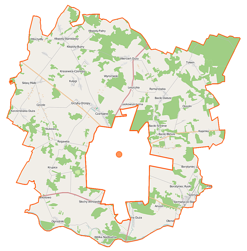
Polski: Mapa gminy Siemiatycze, Polska
English: Map of Gmina Siemiatycze, Poland |
|||||||||
| Date | ||||||||||
| Source | You may find a page on the OpenStreetMap wiki page for Siemiatycze (gmina wiejska) | |||||||||
| Creator |
OpenStreetMap contributors OpenStreetMap contributors |
|||||||||
| Permission (Reusing this file) |
OpenStreetMap data is available under the Open Database License (details). Map tiles are licensed under the Creative Commons Attribution-ShareAlike 2.0 license (CC-BY-SA 2.0).
This file is licensed under the Creative Commons Attribution-Share Alike 2.0 Generic license.
|
|||||||||
| Geotemporal data | ||||||||||
| Bounding box |
|
|||||||||
| Georeferencing | If inappropriate please set warp_status = skip to hide. | |||||||||
File history
Click on a date/time to view the file as it appeared at that time.
| Date/Time | Thumbnail | Dimensions | User | Comment | |
|---|---|---|---|---|---|
| current | 10:07, 16 September 2014 | | 1,002 × 1,016 (274 KB) | VanWiel (talk | contribs) | |
| 05:33, 25 June 2014 |  | 1,002 × 1,016 (264 KB) | VanWiel (talk | contribs) | {{OpenStreetMap | name = Siemiatycze (gmina wiejska) | location = Siemiatycze (gmina wiejska) | description = {{pl|Mapa gminy Siemiatycze, Polska}} {{en|Map of Gmina Siemiatycze, Poland}} | top = 52.5438 |... |
You cannot overwrite this file.
File usage on Commons
There are no pages that use this file.
File usage on other wikis
The following other wikis use this file:
- Usage on de.wikipedia.org
- Usage on lt.wikipedia.org
- Usage on pl.wikipedia.org
- Siemiatycze (gmina wiejska)
- Baciki Bliższe
- Baciki Dalsze
- Baciki Średnie
- Boratyniec Lacki
- Boratyniec Ruski
- Cecele
- Czartajew
- Grzyby-Orzepy
- Klekotowo (województwo podlaskie)
- Kłopoty-Bańki
- Kłopoty-Bujny
- Kłopoty-Patry
- Kłopoty-Stanisławy
- Krupice (powiat siemiatycki)
- Kułygi
- Kajanka
- Korzeniówka Duża
- Lachówka (województwo podlaskie)
- Leszczka (województwo podlaskie)
- Rogawka
- Siemiatycze-Stacja
- Skiwy Duże
- Szerszenie
- Słochy Annopolskie
- Krasewice Stare
- Tołwin
- Turna Duża
- Turna Mała
- Wiercień Duży
- Wyromiejki
- Anusin (gmina Siemiatycze)
- Olendry (województwo podlaskie)
- Ossolin (województwo podlaskie)
- Wólka Nadbużna (województwo podlaskie)
- Klukowo (powiat siemiatycki)
- Laskowszczyzna (powiat siemiatycki)
- Ogrodniki (powiat siemiatycki)
- Romanówka (powiat siemiatycki)
- Moczydły (powiat siemiatycki)
- Zalesie (gmina Siemiatycze)
- Korzeniówka Mała
- Wiercień Mały
- Skiwy Małe
- Krasewice-Jagiełki
- Krasewice-Czerepy
- Hałasówka
- Hryćki (Kłopoty-Patry)
View more global usage of this file.
_location_map.png)
_location_map.png&oldid=495765748)