File:Silverwood-Heights-map.png

Size of this preview: 766 × 600 pixels. Other resolutions: 307 × 240 pixels | 613 × 480 pixels | 848 × 664 pixels.
Original file (848 × 664 pixels, file size: 208 KB, MIME type: image/png)
Captions
Captions
Add a one-line explanation of what this file represents
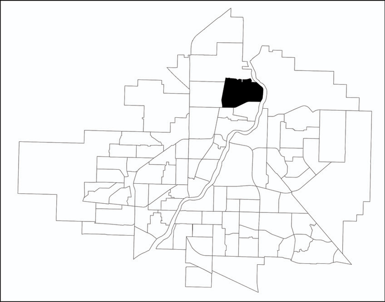
| Description | A map showing the location of the Silverwood Heights neighbourhood in relation to the other neighbourhoods in Saskatoon, Saskatchewan, Canada. | ||||||||
| Source | http://www.saskatoon.ca/org/city_planning/resources/neighbourhood_demographics/silverwood_heights.pdf | ||||||||
| Author | City of Saskatoon - City Planning Branch | ||||||||
| Permission (Reusing this file) |
Author's permission forwarded to permissions-commons@wikimedia.org on January 24, 2008
|

File history
Click on a date/time to view the file as it appeared at that time.
| Date/Time | Thumbnail | Dimensions | User | Comment | |
|---|---|---|---|---|---|
| current | 02:35, 19 January 2011 | | 848 × 664 (208 KB) | Drm310 (talk | contribs) | Updated version from 2010 |
| 05:06, 25 January 2008 |  | 320 × 250 (22 KB) | Drm310 (talk | contribs) | {{Information |Description=A map showing the location of the Silverwood Heights neighbourhood in relation to the other neighbourhoods in Saskatoon, Saskatchewan, Canada. |Source=http://www.saskatoon.ca/org/city_planning/resources/neighbourhood_demographic | |
| 05:04, 25 January 2008 |  | 320 × 250 (22 KB) | Drm310 (talk | contribs) | {{Information |Description=A map showing the location of the Silverwood Heights neighbourhood in relation to the other neighbourhoods in Saskatoon, Saskatchewan, Canada. |Source=http://www.saskatoon.ca/org/city_planning/resources/neighbourhood_demographic |
You cannot overwrite this file.
File usage on Commons
The following page uses this file:
File usage on other wikis
The following other wikis use this file:
- Usage on en.wikipedia.org
- Usage on www.wikidata.org