File:Simeon DeWitt Twenty Townships c.1792.png
Original file (960 × 907 pixels, file size: 487 KB, MIME type: image/png)
Captions
Captions
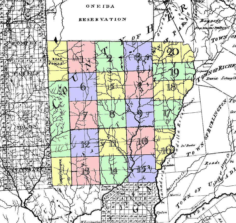
| Description | Map of the Twenty Townships (called Sale Townships on this map). Located in what was then w:Herkimer County, New York, about where northern Chenango and southern Madison Counties are today. | ||||
| Date | circa 1779 | ||||
| Source | w:Image:Twenty Townships.png | ||||
| Author | Simeon De Witt NY Surveyor General (colored by me) | ||||
| Permission (Reusing this file) |
|
||||
File history
Click on a date/time to view the file as it appeared at that time.
| Date/Time | Thumbnail | Dimensions | User | Comment | |
|---|---|---|---|---|---|
| current | 12:56, 19 June 2006 | | 960 × 907 (487 KB) | Nonenmac (talk | contribs) | {{Information |Description=Map of the '''''Twenty Townships''''' (called Sale Townships on this map). Located in what was then w:Herkimer County, New York, about where northern Chenango and southern [[w:Madison County, |
You cannot overwrite this file.
File usage on Commons
The following 2 pages use this file:
File usage on other wikis
The following other wikis use this file:
- Usage on ar.wikipedia.org
- Usage on bg.wikipedia.org
- Usage on en.wikipedia.org
- Usage on ja.wikipedia.org
- Usage on pt.wikipedia.org