File:Skollanes.jpg

Size of this preview: 709 × 600 pixels. Other resolutions: 284 × 240 pixels | 567 × 480 pixels | 908 × 768 pixels | 1,210 × 1,024 pixels | 1,547 × 1,309 pixels.
Original file (1,547 × 1,309 pixels, file size: 860 KB, MIME type: image/jpeg)
Captions
Captions
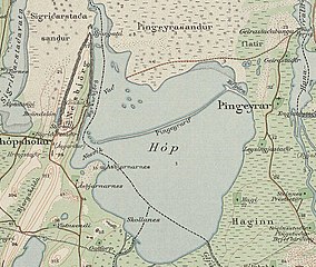
Skollanes & Hópið
Summary edit
| Description |
English: Skollanes |
| Date | |
| Source | https://myndir.islandskort.is/map/Uppdrattur_Islands___1_1_________1921_1944_38/43__Blonduos_766/1031/2012-10-16-12-50-29.jpg |
| Author | Generalstabens Topografiske Afdeling, Copenhagen 1921 |
Licensing edit
copyright expired -

|
The contents of this file is, in either full extent or partially, based on open public geographic data from the Danish Geodata Agency:
|
File history
Click on a date/time to view the file as it appeared at that time.
| Date/Time | Thumbnail | Dimensions | User | Comment | |
|---|---|---|---|---|---|
| current | 09:47, 25 May 2021 | | 1,547 × 1,309 (860 KB) | Xypete (talk | contribs) | Uploaded a work by Generalstabens Topografiske Afdeling, Copenhagen 1921 from https://myndir.islandskort.is/map/Uppdrattur_Islands___1_1_________1921_1944_38/43__Blonduos_766/1031/2012-10-16-12-50-29.jpg with UploadWizard |
You cannot overwrite this file.
File usage on Commons
There are no pages that use this file.
File usage on other wikis
The following other wikis use this file:
- Usage on is.wikipedia.org