File:Slajus1.JPG

Size of this preview: 660 × 599 pixels. Other resolutions: 264 × 240 pixels | 529 × 480 pixels | 846 × 768 pixels | 1,128 × 1,024 pixels | 2,184 × 1,983 pixels.
Original file (2,184 × 1,983 pixels, file size: 807 KB, MIME type: image/jpeg)
Captions
Captions
Add a one-line explanation of what this file represents
Summary
edit
| Description |
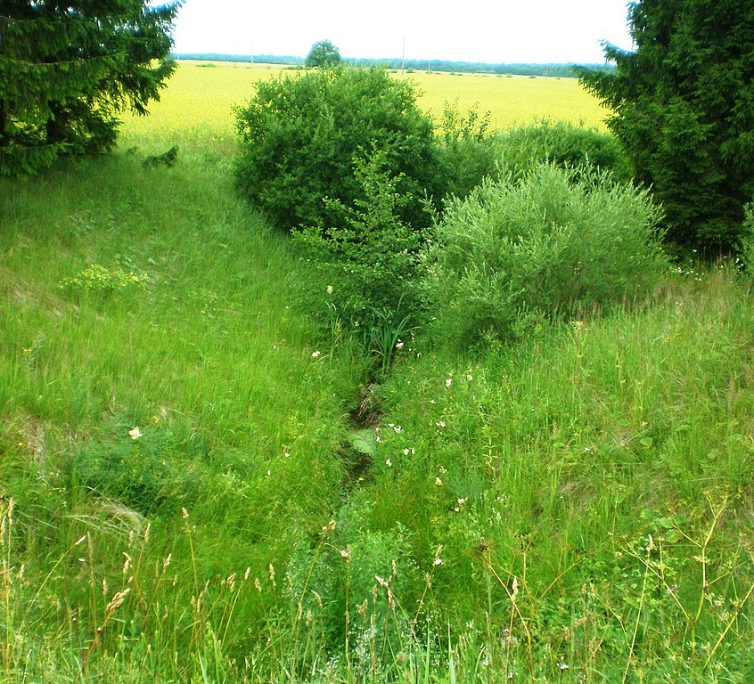
Lietuvių: Slajaus upelis ties Prapuoleniais, Kėdainių raj. |
| Date | |
| Source | Own work |
| Author | Hugo.arg |
| Camera location | | View this and other nearby images on: OpenStreetMap |
|---|
Licensing
edit
| I, the copyright holder of this work, release this work into the public domain. This applies worldwide. In some countries this may not be legally possible; if so: I grant anyone the right to use this work for any purpose, without any conditions, unless such conditions are required by law. |
File history
Click on a date/time to view the file as it appeared at that time.
| Date/Time | Thumbnail | Dimensions | User | Comment | |
|---|---|---|---|---|---|
| current | 15:44, 3 July 2011 | | 2,184 × 1,983 (807 KB) | Hugo.arg (talk | contribs) | {{Information |Description ={{lt|1=Slajaus upelis ties Prapuoleniais, Kėdainių raj. }} |Source ={{own}} |Author =Hugo.arg |Date =2011-07-03 |Permission = |other_versions = }} [[Category:Rivers of Lith |
You cannot overwrite this file.
File usage on Commons
There are no pages that use this file.
File usage on other wikis
The following other wikis use this file:
- Usage on lt.wikipedia.org