File:Slovakia15Spis6.JPG
Size of this preview: 800 × 600 pixels. Other resolutions: 320 × 240 pixels | 640 × 480 pixels | 1,024 × 768 pixels | 1,280 × 960 pixels | 2,560 × 1,920 pixels.
Original file (2,560 × 1,920 pixels, file size: 1.03 MB, MIME type: image/jpeg)
Captions
Captions
Add a one-line explanation of what this file represents
Summary
edit
| Description |
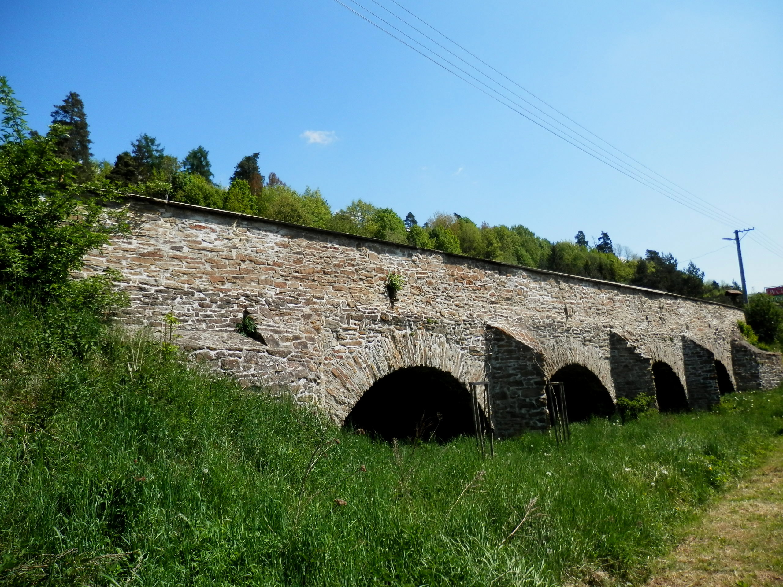
Slovenčina: Pôvodný Kamenný most bol postavený v 16. storočí a bol súčasťou historickej cesty z východu na západ, ktorá spájala Atlantický oceán s Moskvou. Súčasnú podobu získal po prestavbe v rokoch 1803-1808. Kamenný most je zložený zo štyroch oblúkov, má dĺžku 39.93 m. Obec Spišský Hrhov, okres Levoča.
|
||
| Date | |||
| Source | Own work | ||
| Author | Ing.Mgr.Jozef Kotulič |
| Object location | | View this and other nearby images on: OpenStreetMap |
|---|
Licensing
edit
I, the copyright holder of this work, hereby publish it under the following license:
This file is licensed under the Creative Commons Attribution-Share Alike 4.0 International license.
- You are free:
- to share – to copy, distribute and transmit the work
- to remix – to adapt the work
- Under the following conditions:
- attribution – You must give appropriate credit, provide a link to the license, and indicate if changes were made. You may do so in any reasonable manner, but not in any way that suggests the licensor endorses you or your use.
- share alike – If you remix, transform, or build upon the material, you must distribute your contributions under the same or compatible license as the original.
File history
Click on a date/time to view the file as it appeared at that time.
| Date/Time | Thumbnail | Dimensions | User | Comment | |
|---|---|---|---|---|---|
| current | 17:14, 16 May 2015 | | 2,560 × 1,920 (1.03 MB) | Doko (talk | contribs) | User created page with UploadWizard |
You cannot overwrite this file.
File usage on Commons
The following page uses this file:
File usage on other wikis
The following other wikis use this file:
- Usage on cs.wikipedia.org
- Usage on de.wikipedia.org
- Usage on sk.wikipedia.org
- Usage on www.wikidata.org