File:Slovakia kosice trebisov.png
Size of this preview: 800 × 390 pixels. Other resolutions: 320 × 156 pixels | 640 × 312 pixels | 1,024 × 499 pixels | 1,280 × 624 pixels | 2,400 × 1,170 pixels.
Original file (2,400 × 1,170 pixels, file size: 301 KB, MIME type: image/png)
Captions
Captions
Add a one-line explanation of what this file represents
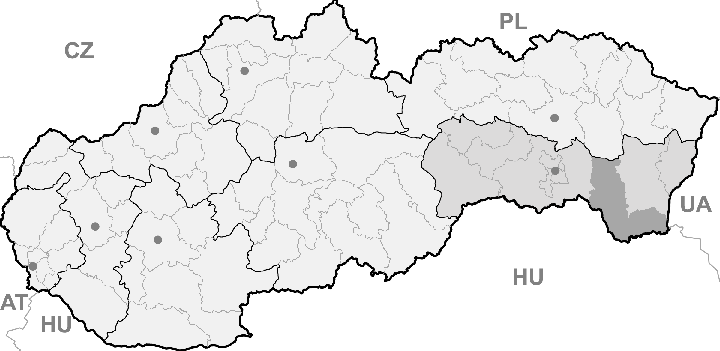
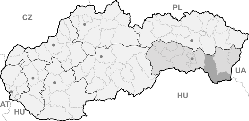
| Description | Map of Slovakia, Trebisov district and Kosice region highlighted | ||
| Date | |||
| Source | Own work | ||
| Author | Martin Proehl | ||
| Permission (Reusing this file) |
|
File history
Click on a date/time to view the file as it appeared at that time.
| Date/Time | Thumbnail | Dimensions | User | Comment | |
|---|---|---|---|---|---|
| current | 12:36, 3 February 2007 | | 2,400 × 1,170 (301 KB) | Murli (talk | contribs) | {{Information |Description=Map of Slovakia, Trebisov district and Kosice region highlighted |Source=own work |Date=03.02.2007 |Author=Martin Proehl |Permission=Own work, all rights released (Public domain) |other_versions= }} {{PD-self}} |
You cannot overwrite this file.
File usage on Commons
There are no pages that use this file.
File usage on other wikis
The following other wikis use this file:
- Usage on de.wikipedia.org
- Slovenské Nové Mesto
- Čierna nad Tisou
- Kráľovský Chlmec
- Sečovce
- Trebišov
- Bara (Slowakei)
- Streda nad Bodrogom
- Borša
- Zemplín (Ort)
- Michaľany
- Egreš
- Veľký Kamenec
- Vojčice
- Kuzmice (Trebišov)
- Zemplínske Hradište
- Somotor
- Bačkov (Slowakei)
- Zemplínska Teplica
- Pribeník
- Leles
- Parchovany
- Dargov
- Hraň
- Cejkov
- Nižný Žipov
- Biel (Slowakei)
- Boťany
- Veľké Trakany
- Malé Trakany
- Malý Horeš
- Veľký Horeš
- Novosad
- Hrčeľ
- Nový Ruskov
- Veľká Tŕňa
- Hriadky
- Brehov
- Lastovce
- Slivník
- Dvorianky
- Zatín
- Viničky
- Ladmovce
- Klin nad Bodrogom
- Malý Kamenec
- Byšta
- Kazimír
- Luhyňa
- Čerhov
- Malá Tŕňa
View more global usage of this file.