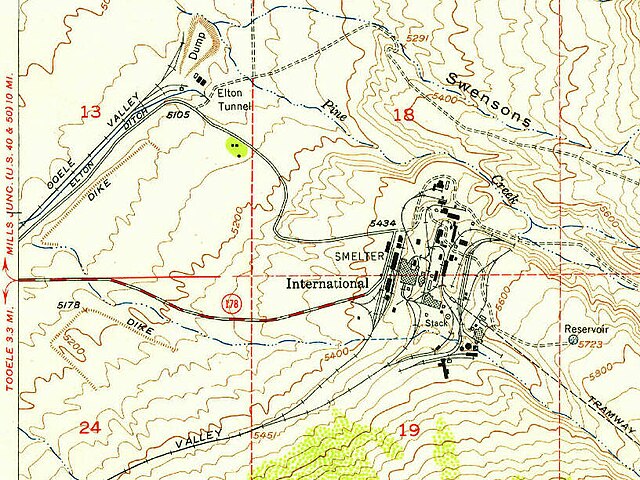
File:Smelter site 1952 USGS map detail, Bingham Canyon Mine (cropped).jpg

Size of this preview: 800 × 600 pixels. Other resolutions: 320 × 240 pixels | 640 × 480 pixels | 816 × 612 pixels.
Original file (816 × 612 pixels, file size: 163 KB, MIME type: image/jpeg)
Captions
Captions
Add a one-line explanation of what this file represents
Summary
edit| Description |
English: Historical Topographic Map Collection |
|||||||||
| Date | ||||||||||
| Source | https://ngmdb.usgs.gov/topoview/viewer | |||||||||
| Creator |
United States Geological Survey |
|||||||||
| Geotemporal data | ||||||||||
| Bounding box |
|
|||||||||
| Georeferencing | ||||||||||
| Other versions | ||||||||||

.jpg&action=edit§ion=1)
| Camera location | | View this and other nearby images on: OpenStreetMap |
|---|
.jpg¶ms=040.539234_N_-112.150270_E_globe:Earth_type:camera__&language=en)
Licensing
edit.jpg&action=edit§ion=2)
This image is in the public domain in the United States because it only contains materials that originally came from the United States Geological Survey, an agency of the United States Department of the Interior. For more information, see the official USGS copyright policy.
|
File history
Click on a date/time to view the file as it appeared at that time.
| Date/Time | Thumbnail | Dimensions | User | Comment | |
|---|---|---|---|---|---|
| current | 21:02, 22 October 2022 | | 816 × 612 (163 KB) | Ooligan (talk | contribs) | File:UT Bingham Canyon 1952.jpg cropped 75 % horizontally, 85 % vertically using CropTool with lossless mode. |
You cannot overwrite this file.
File usage on Commons
The following page uses this file:
.jpg&oldid=747592884)