File:Solbjerg OSM 2012.png

Size of this preview: 597 × 599 pixels. Other resolutions: 239 × 240 pixels | 478 × 480 pixels | 765 × 768 pixels | 1,029 × 1,033 pixels.
Original file (1,029 × 1,033 pixels, file size: 150 KB, MIME type: image/png)
Captions
Captions
Add a one-line explanation of what this file represents
Summary
edit
| Description |
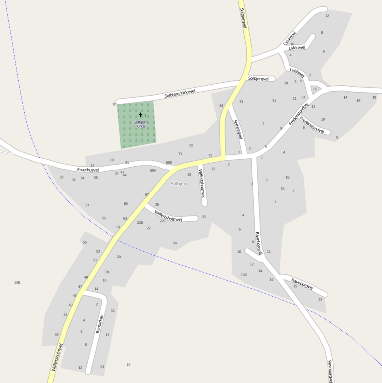
English: Map of Solbjerg in Denmark |
| Date | |
| Source | openstreetmap.org |
| Author | OpenStreetMap contributors |
| Permission (Reusing this file) |
All OpenStreetMap data and maps are Creative Commons "CC-BY-SA 2.0" licensed |
| Object location | | View this and other nearby images on: OpenStreetMap |
|---|
Licensing
edit
| Description |
This map was created from OpenStreetMap project data, collected by the community. This map may be incomplete, and may contain errors. Don't rely solely on it for navigation. |
|||
| Date | (see file history) | |||
| Source | openstreetmap.org | |||
| Creator |
OpenStreetMap contributors |
|||
| Permission (Reusing this file) |
OpenStreetMap data is available under the Open Database License (details). Map tiles are licensed under the Creative Commons Attribution-ShareAlike 2.0 license (CC-BY-SA 2.0).
This file is licensed under the Creative Commons Attribution-Share Alike 2.0 Generic license.
|
|||
| Georeferencing | If inappropriate please set warp_status = skip to hide. |
File history
Click on a date/time to view the file as it appeared at that time.
| Date/Time | Thumbnail | Dimensions | User | Comment | |
|---|---|---|---|---|---|
| current | 15:22, 29 November 2012 | | 1,029 × 1,033 (150 KB) | Sorenhk (talk | contribs) | User created page with UploadWizard |
You cannot overwrite this file.
File usage on Commons
The following 2 pages use this file:
- File:Solbjerg.png (file redirect)
- Category:Solbjerg (Rebild Kommune)
File usage on other wikis
The following other wikis use this file:
- Usage on da.wikipedia.org
- Usage on www.wikidata.org