File:Solidaridad - Localidades.png
Size of this preview: 697 × 599 pixels. Other resolutions: 279 × 240 pixels | 558 × 480 pixels | 1,022 × 879 pixels.
Original file (1,022 × 879 pixels, file size: 68 KB, MIME type: image/png)
Captions
Captions
Add a one-line explanation of what this file represents
Summary
edit
| Description |
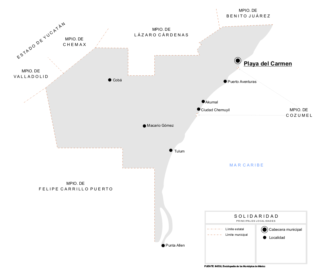
Español: Mapa de las principales localidades del Municipio de Solidaridad en el estado de Quintana Roo, México. |
| Date | |
| Source | Own work |
| Author | Battroid |
| Permission (Reusing this file) |
I, the copyright holder of this work, hereby publish it under the following license: This file is licensed under the Creative Commons Attribution-Share Alike 2.5 Generic license.
|
File history
Click on a date/time to view the file as it appeared at that time.
| Date/Time | Thumbnail | Dimensions | User | Comment | |
|---|---|---|---|---|---|
| current | 00:41, 26 March 2007 | | 1,022 × 879 (68 KB) | Battroid (talk | contribs) | == Summary == {{Information| |Description=*{{es icon}} Mapa de las principales localidades del Municipio de Solidaridad en el estado de Quintana Roo, México. |Source=Own work. |Date=March 25, 2007 |Author=Battroid |Permission={{self|cc- |
You cannot overwrite this file.
File usage on Commons
There are no pages that use this file.
File usage on other wikis
The following other wikis use this file:
- Usage on de.wikipedia.org