File:Sonthofen02.jpg

Size of this preview: 800 × 600 pixels. Other resolutions: 320 × 240 pixels | 640 × 480 pixels | 1,024 × 768 pixels | 1,280 × 960 pixels | 2,304 × 1,728 pixels.
Original file (2,304 × 1,728 pixels, file size: 2.74 MB, MIME type: image/jpeg)
Captions
Captions
Add a one-line explanation of what this file represents
Summary
edit
| Description |
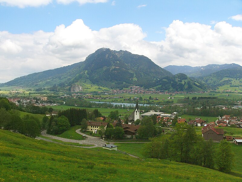
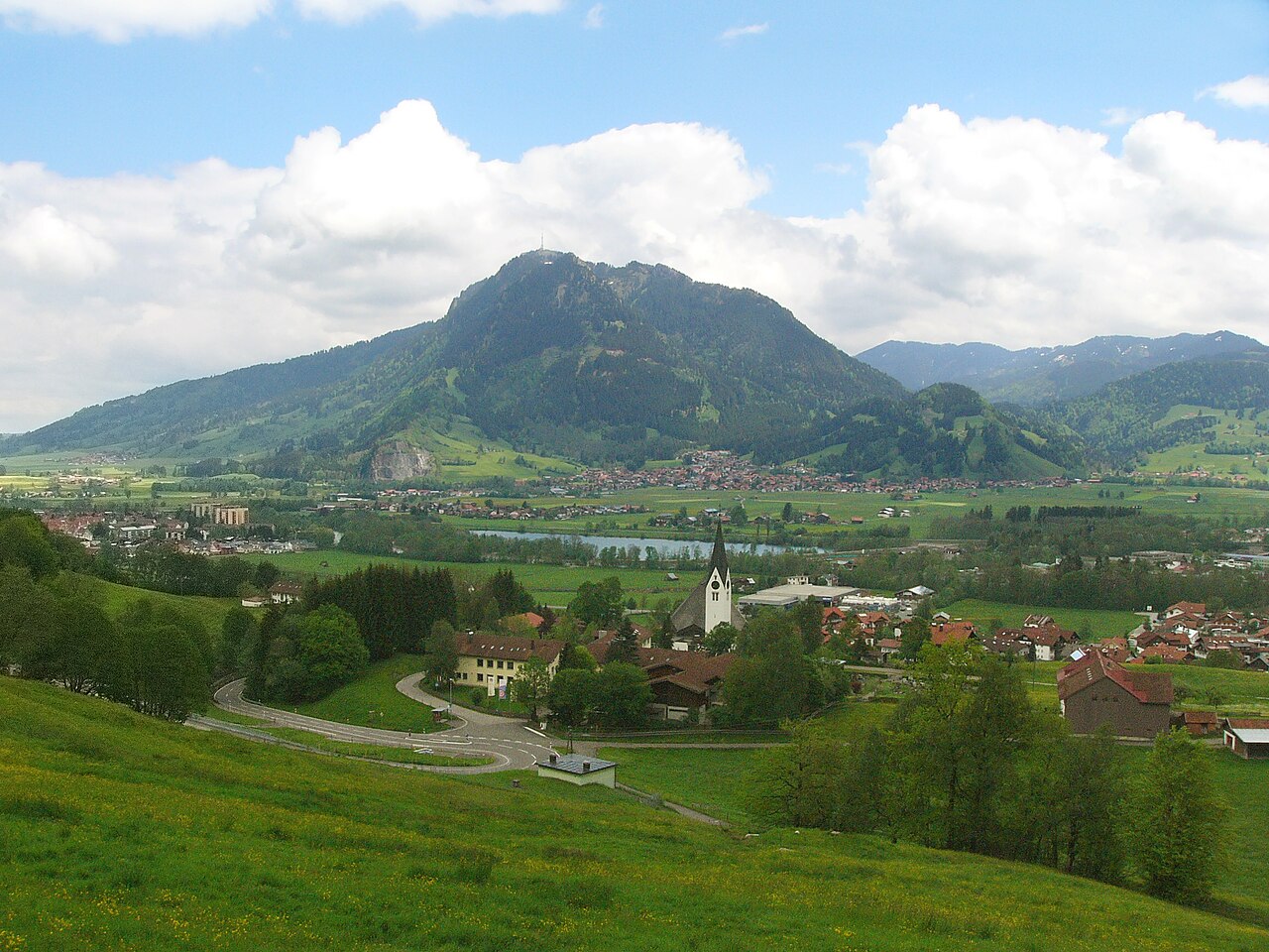
English: View from Seifriedsberg to the Grünten (1738 m), a mountain range in southwestern Bavaria, Germany. Behind the lake Ortwanger See: Burgberg. Deutsch: Blick von Seifriedsberg am Beginn des Gunzesrieder Tals (Blaichach) zum Grünten (1738 m), einem Gebirgsmassiv im südwestlichen Bayern. Hinter dem Ortwanger See (in Bildmitte) liegt Burgberg im Allgäu. |
| Date | |
| Source | Own work |
| Author | Nikater |
| Permission (Reusing this file) |
Own work, all rights released (Public domain) |
| Camera location | | View this and other nearby images on: OpenStreetMap |
|---|
Licensing
edit
| I, the copyright holder of this work, release this work into the public domain. This applies worldwide. In some countries this may not be legally possible; if so: I grant anyone the right to use this work for any purpose, without any conditions, unless such conditions are required by law. |
File history
Click on a date/time to view the file as it appeared at that time.
| Date/Time | Thumbnail | Dimensions | User | Comment | |
|---|---|---|---|---|---|
| current | 21:28, 27 May 2012 | | 2,304 × 1,728 (2.74 MB) | Nikater (talk | contribs) | Bild ausgetauscht |
| 21:24, 27 May 2012 |  | 2,304 × 1,728 (2.74 MB) | Nikater (talk | contribs) | == {{int:filedesc}} == {{Information |Description={{en|1=Sonthofen is the most southerly town in Germany, located in the Oberallgäu region in Bavaria. View to the town and the Allgäu Alps in the south.}} {{de|... |
You cannot overwrite this file.
File usage on Commons
The following page uses this file: