File:South Africa Mpumalanga relief location map.svg

Size of this PNG preview of this SVG file: 579 × 599 pixels. Other resolutions: 232 × 240 pixels | 464 × 480 pixels | 742 × 768 pixels | 989 × 1,024 pixels | 1,979 × 2,048 pixels | 1,031 × 1,067 pixels.
Original file (SVG file, nominally 1,031 × 1,067 pixels, file size: 2.26 MB)
Captions
Captions
Add a one-line explanation of what this file represents
Summary
edit
| Description |
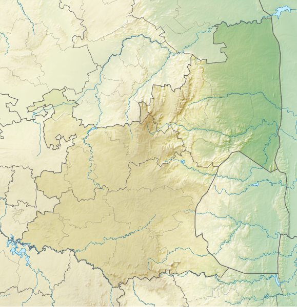
English: Relief location map of Mpumalanga
Equirectangular projection, N/S stretching 110%. Geographic limits of the map:
|
| Date | |
| Source | |
| Author | Htonl |
| Permission (Reusing this file) |
I, the copyright holder of this work, hereby publish it under the following license: This file is licensed under the Creative Commons Attribution-Share Alike 3.0 Unported license.
|
| Other versions | File:South Africa Mpumalanga location map.svg |
File history
Click on a date/time to view the file as it appeared at that time.
| Date/Time | Thumbnail | Dimensions | User | Comment | |
|---|---|---|---|---|---|
| current | 20:23, 6 January 2013 | | 1,031 × 1,067 (2.26 MB) | Htonl (talk | contribs) | == {{int:filedesc}} == {{Information |Description ={{en|Relief location map of en:Mpumalanga Equirectangular projection, N/S stretching 110%. Geographic limits of the map: * N: 23.75° S * S: 27.75° S * W: 28° E * E: 32.25° E}} |Source ... |
You cannot overwrite this file.
File usage on Commons
There are no pages that use this file.
File usage on other wikis
The following other wikis use this file:
- Usage on af.wikipedia.org
- Usage on ar.wikipedia.org
- Usage on bg.wikipedia.org
- Usage on ceb.wikipedia.org
- Usage on de.wikipedia.org
- Usage on en.wikipedia.org
- Alfred Dunhill Championship
- Timbavati Private Nature Reserve
- Goedehoop natural rock bridge
- Highveld Classic
- Blyde River Canyon Nature Reserve
- Loskop Dam Nature Reserve
- Songimvelo Game Reserve
- Kowyn Pass
- Lion Sands Reserve
- Module:Location map/data/South Africa Mpumalanga/doc
- Lisbon Falls (waterfall)
- Skukuza Airport
- Sabi Sand Game Reserve
- Module:Location map/data/South Africa Mpumalanga
- Pam Golding Ladies International
- Usage on eo.wikipedia.org
- Usage on es.wikipedia.org
- Usage on frr.wikipedia.org
- Usage on fr.wikipedia.org
- Usage on he.wikipedia.org
- Usage on id.wikipedia.org
- Usage on ja.wikipedia.org
View more global usage of this file.