File:South Fork Bridge.jpg

Size of this preview: 764 × 600 pixels. Other resolutions: 306 × 240 pixels | 612 × 480 pixels | 979 × 768 pixels | 1,280 × 1,005 pixels | 2,560 × 2,009 pixels | 4,727 × 3,710 pixels.
Original file (4,727 × 3,710 pixels, file size: 2.08 MB, MIME type: image/jpeg)
Captions
Captions
Add a one-line explanation of what this file represents
|
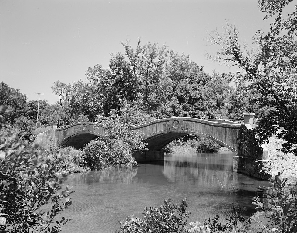
This is an image of a place or building that is listed on the National Register of Historic Places in the United States of America. Its reference number is 90000521. |
| Camera location | | View this and other nearby images on: OpenStreetMap |
|---|

|
This image is available from the United States Library of Congress's Prints and Photographs division
under the digital ID hhh.ar0085. This tag does not indicate the copyright status of the attached work. A normal copyright tag is still required. See Commons:Licensing.
|
File history
Click on a date/time to view the file as it appeared at that time.
| Date/Time | Thumbnail | Dimensions | User | Comment | |
|---|---|---|---|---|---|
| current | 05:02, 13 December 2009 | | 4,727 × 3,710 (2.08 MB) | Nyttend (talk | contribs) | {{Location|34|36|11|N|92|55|20|W}} {{Information |Description={{en|Eastern side of the {{w|South Fork Bridge}}, which spans the South Fork of the {{w|Saline River (Arkansas)|Saline River}} at {{w|Fountain Lake, Arkansas|Fountain Lake}} in {{w|Garland Coun |
You cannot overwrite this file.
File usage on Commons
There are no pages that use this file.
File usage on other wikis
The following other wikis use this file:
- Usage on de.wikipedia.org
- Usage on en.wikipedia.org
- Usage on www.wikidata.org