File:Southern Europe.png
No higher resolution available.
Southern_Europe.png (360 × 197 pixels, file size: 5 KB, MIME type: image/png)
Captions
Captions
Add a one-line explanation of what this file represents
Summary
edit
| Description |
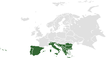
English: Locater map for Southern Europe |
| Date | 15 October 2005 (original upload date) |
| Source |
(Original text: Koavf (talk) (Uploads) based on :Image:BlankMap-World.png) |
| Author | Koavf (talk) (Uploads) |
Licensing
edit
| This work has been released into the public domain by its author, Koavf at English Wikipedia. This applies worldwide. In some countries this may not be legally possible; if so: Koavf grants anyone the right to use this work for any purpose, without any conditions, unless such conditions are required by law. |
Original upload log
edit
Transferred from en.wikipedia to Commons by Sfan00_IMG using CommonsHelper.
The original description page was here. All following user names refer to en.wikipedia.
- 2005-10-15 18:33 Koavf 255×155× (34548 bytes) Based on [[Image:World-blank.png]]
File history
Click on a date/time to view the file as it appeared at that time.
| Date/Time | Thumbnail | Dimensions | User | Comment | |
|---|---|---|---|---|---|
| current | 14:51, 12 April 2014 | | 360 × 197 (5 KB) | Spesh531 (talk | contribs) | more exact southern europe boundaries |
| 17:58, 18 July 2012 |  | 255 × 155 (34 KB) | File Upload Bot (Magnus Manske) (talk | contribs) | Transfered from en.wikipedia by User:Sfan00_IMG using CommonsHelper |
You cannot overwrite this file.
File usage on Commons
There are no pages that use this file.