File:Southern Italy topographic map-blank.png
Size of this preview: 507 × 599 pixels. Other resolutions: 203 × 240 pixels | 406 × 480 pixels | 903 × 1,067 pixels.
Original file (903 × 1,067 pixels, file size: 1.15 MB, MIME type: image/png)
Captions
Captions
Add a one-line explanation of what this file represents
| Description |
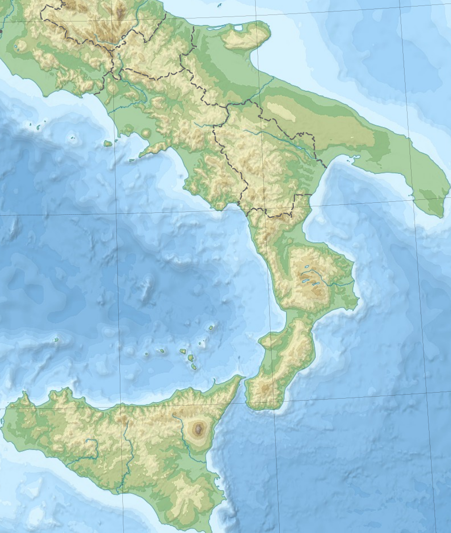
English: Blank topographic map of Italy, with regions boundaries and including the 08-2009 modification of the boundary between Emilia-Romagna and Marche regions. Note: The background map is a raster image embedded in the SVG file. Français : Carte topographique vierge de l'Italie, avec limites des régions et intégrant la modification d'août 2009 de la frontière entre les régions Emilia-Romagna et Marche. Note : Le fond de carte est une image bitmap embarquée dans le fichier SVG. Lambert conformal conic projection; WGS84 datum :Standard parallels: 37° N and 45° N :Central meridian: 012° E :Origin latitude: 41° N Scale: 1:3,760,000 (precision 940 m) |
| Date | (UTC) |
| Source | |
| Author |
|
I, the copyright holder of this work, hereby publish it under the following licenses:
This file is licensed under the Creative Commons Attribution-Share Alike 3.0 Unported license.
- You are free:
- to share – to copy, distribute and transmit the work
- to remix – to adapt the work
- Under the following conditions:
- attribution – You must give appropriate credit, provide a link to the license, and indicate if changes were made. You may do so in any reasonable manner, but not in any way that suggests the licensor endorses you or your use.
- share alike – If you remix, transform, or build upon the material, you must distribute your contributions under the same or compatible license as the original.

|
Permission is granted to copy, distribute and/or modify this document under the terms of the GNU Free Documentation License, Version 1.2 or any later version published by the Free Software Foundation; with no Invariant Sections, no Front-Cover Texts, and no Back-Cover Texts. A copy of the license is included in the section entitled GNU Free Documentation License. |
You may select the license of your choice.
Original upload log edit
This image is a derivative work of the following images:
- File:Italy_topographic_map-blank.svg licensed with Cc-by-sa-3.0, GFDL
- 2009-09-14T14:16:23Z Sting 1759x2167 (2056027 Bytes) updating borders after important variation (http://www.gazzettaufficiale.it/guridb/dispatcher?service=1&datagu=2009-08-14&task=dettaglio&numgu=188&redaz=009G0127&tmstp=1250276942469) - cf [[:File:Italy_location_map.svg]] ; +
- 2009-04-26T04:07:23Z Sting 1759x2167 (1851897 Bytes) == Summary == {{Location|42|00|00|N|12|00|00|E|scale:5000000}} {{Information |Description={{en|Blank topographic map of [[:en:Italy|Italy]], with regions boundaries.''Note:'' The background map is a raster image embedded in
Uploaded with derivativeFX
File history
Click on a date/time to view the file as it appeared at that time.
| Date/Time | Thumbnail | Dimensions | User | Comment | |
|---|---|---|---|---|---|
| current | 08:13, 11 March 2010 | | 903 × 1,067 (1.15 MB) | Deusdemona (talk | contribs) | {{Information |Description={{en|Blank topographic map of Italy, with regions boundaries and including the 08-2009 modification of the boundary between Emilia-Romagna and Marche regions.<br/>''Note:'' The background map is a raster image embe |
You cannot overwrite this file.
File usage on Commons
There are no pages that use this file.
File usage on other wikis
The following other wikis use this file:
- Usage on en.wikipedia.org