File:Soviet Union location map.svg

Size of this PNG preview of this SVG file: 600 × 371 pixels. Other resolutions: 320 × 198 pixels | 640 × 396 pixels | 1,024 × 633 pixels | 1,280 × 791 pixels | 2,560 × 1,583 pixels.
Original file (SVG file, nominally 600 × 371 pixels, file size: 1.01 MB)
Captions
Captions
Add a one-line explanation of what this file represents
Summary edit
| Description |
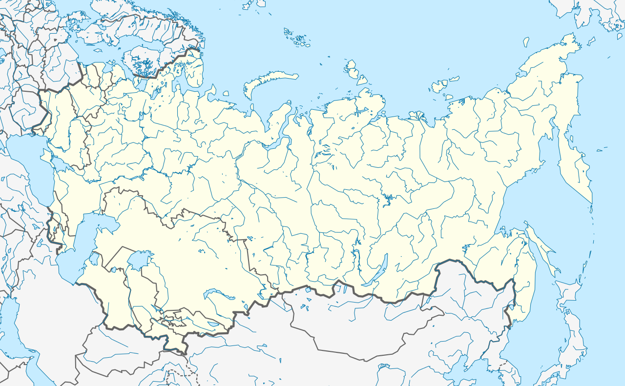
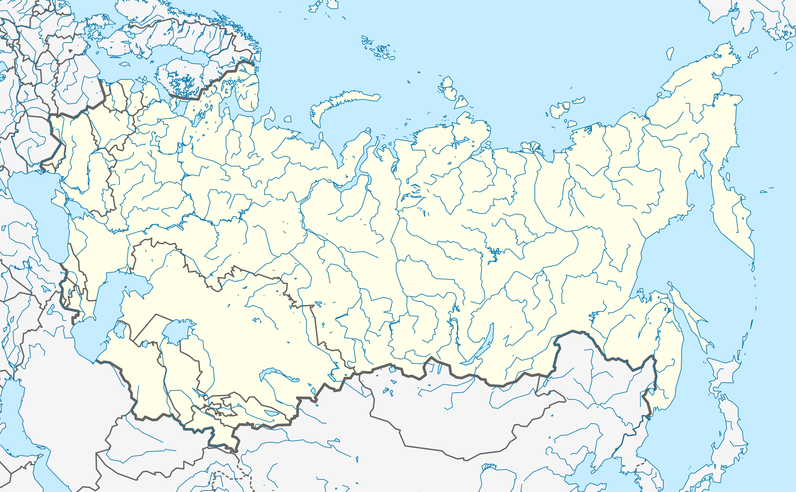
English: Location map of the Soviet Union. Русский: Позиционная карта СССР.
|
| Date | |
| Source | Own work based on: Natural Earth data |
| Author | Hellerick |
| SVG development |
Licensing edit
I, the copyright holder of this work, hereby publish it under the following license:
This file is licensed under the Creative Commons Attribution-Share Alike 3.0 Unported license.
- You are free:
- to share – to copy, distribute and transmit the work
- to remix – to adapt the work
- Under the following conditions:
- attribution – You must give appropriate credit, provide a link to the license, and indicate if changes were made. You may do so in any reasonable manner, but not in any way that suggests the licensor endorses you or your use.
- share alike – If you remix, transform, or build upon the material, you must distribute your contributions under the same or compatible license as the original.
File history
Click on a date/time to view the file as it appeared at that time.
| Date/Time | Thumbnail | Dimensions | User | Comment | |
|---|---|---|---|---|---|
| current | 10:39, 24 September 2013 | | 600 × 371 (1.01 MB) | Hellerick (talk | contribs) | Better visibility for disputed borders. |
| 10:33, 24 September 2013 |  | 600 × 371 (1.01 MB) | Hellerick (talk | contribs) | Dashed lines for disputed borders | |
| 03:21, 22 September 2013 |  | 600 × 371 (1.1 MB) | Hellerick (talk | contribs) | Some islands lost. | |
| 08:44, 21 September 2013 |  | 600 × 371 (1 MB) | Hellerick (talk | contribs) | User created page with UploadWizard |
You cannot overwrite this file.
File usage on Commons
The following page uses this file:
File usage on other wikis
The following other wikis use this file:
- Usage on ast.wikipedia.org
- Usage on azb.wikipedia.org
- Usage on az.wikipedia.org
- Usage on ba.wikipedia.org
- Usage on da.wikipedia.org
- Usage on de.wikipedia.org
- Usage on en.wikipedia.org
- Baikonur Cosmodrome
- Katyn massacre
- 1985 FIFA World Youth Championship
- 1978 FIVB Volleyball Women's World Championship
- 1962 FIVB Volleyball Women's World Championship
- 1936 Soviet Top League
- 1990 Dushanbe riots
- Main Centre for Missile Attack Warning
- Module:Location map/data/Soviet Union/doc
- Operation Benedict
- Module:Location map/data/Soviet Union
- Template:Infobox military operation/testcases
- List of World Heritage Sites in the Soviet Union
- Serpantinka
- Kokshetau Oblast
- Module:Location map/data/USSR
- Usage on es.wikipedia.org
- Taiga (prueba nuclear)
- Copa Mundial de Fútbol Juvenil de 1985
- Chagan
- Fákel (prueba nuclear)
- Urta-Bulak (prueba nuclear)
- Prueba nuclear soviética N.º 219
- Operación Baikal
- Operación ZUR-215
- Operación Tyulpan
- Ráduga (prueba nuclear)
- Operación Volga
- Operación Roza
- Operación Shkval
- Operación Snézhok
- Operación Groza
- Proyecto Vega
- Plantilla:Mapa de localización de Unión Soviética
- Usage on fa.wikipedia.org
View more global usage of this file.