File:Spain Aragon location map.svg

Size of this PNG preview of this SVG file: 474 × 599 pixels. Other resolutions: 190 × 240 pixels | 380 × 480 pixels | 608 × 768 pixels | 810 × 1,024 pixels | 1,621 × 2,048 pixels | 512 × 647 pixels.
Original file (SVG file, nominally 512 × 647 pixels, file size: 564 KB)
Captions
Captions
Add a one-line explanation of what this file represents
Summary edit
| Description |
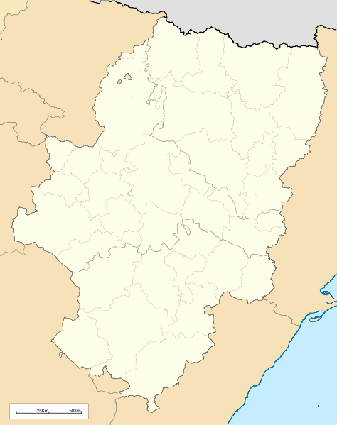
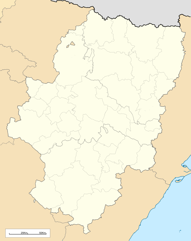
English: Location map of Aragón (Spain)
Equirectangular projection, N/S stretching 130 %. Geographic limits of the map:
Español: Mapa de localización de la comunidad autónoma de Aragón (España)
Proyección equirrectangular, N/S estirada 130 %. Límites geográficos del mapa:
|
|
| Date | ||
| Source | Own work based on: Comarcas de Aragón.svg and EspañaLoc.svg | |
| Author | Miguillen | |
| SVG development | This locator map was created with Inkscape.
|
Licensing edit
Miguillen, the copyright holder of this work, hereby publishes it under the following license:
This file is licensed under the Creative Commons Attribution-Share Alike 3.0 Unported license.
Attribution: Miguillen
- You are free:
- to share – to copy, distribute and transmit the work
- to remix – to adapt the work
- Under the following conditions:
- attribution – You must give appropriate credit, provide a link to the license, and indicate if changes were made. You may do so in any reasonable manner, but not in any way that suggests the licensor endorses you or your use.
- share alike – If you remix, transform, or build upon the material, you must distribute your contributions under the same or compatible license as the original.
File history
Click on a date/time to view the file as it appeared at that time.
| Date/Time | Thumbnail | Dimensions | User | Comment | |
|---|---|---|---|---|---|
| current | 13:38, 19 May 2010 | | 512 × 647 (564 KB) | Miguillen (talk | contribs) | bordes |
| 11:58, 19 May 2010 |  | 512 × 647 (564 KB) | Miguillen (talk | contribs) | == {{int:filedesc}} == {{Information |Description={{en|Location map of Aragón (Spain)}} Equirectangular projection, N/S stretching 130 %. Geographic limits of the map: * N: 43.055249° N * S: 39.750129° N * W: 2.282836° O * E: 0.85 |
You cannot overwrite this file.
File usage on Commons
The following 2 pages use this file:
File usage on other wikis
The following other wikis use this file:
- Usage on an.wikipedia.org
- Zaragoza
- Uesca
- Teruel
- Biescas
- Calatayú
- Ayerbe
- Daroca
- Chaca
- Samianigo
- Casp
- Bichuesca
- Monzón
- Munebrega
- Chasa
- Lacuna de Gallocanta
- Palacio de l'Alchafaría
- Manzanera (Teruel)
- Fraga (Uesca)
- Agüero
- Benás
- Albero d'Alto
- Alcalá de Gurrea
- Oz de Tena
- Sallent de Galligo
- Linars de Marcuello
- Val de Robres
- Calaceit
- Balbastro
- Alcanyiz
- Graus
- Albarracín
- Fuent de Todos
- Tarazona
- L'Almunia de Donya Godina
- Mont-fort
- Fuent Ferrada
- O Fornigal
- Yesero
- Pandicosa
- Candarenas
- Yebra de Basa
- Cucalón
- Villanuga
- Arinyo
- Boltanya
- Alfacharín
- Illueca
- Torrellas
- Torre la Palla
- Campiello d'Aragón
View more global usage of this file.