File:Spezialkarte 4155 Deutschbrod.jpg

Size of this preview: 800 × 570 pixels. Other resolutions: 320 × 228 pixels | 640 × 456 pixels | 1,024 × 729 pixels | 1,280 × 911 pixels | 2,560 × 1,822 pixels | 8,268 × 5,886 pixels.
Original file (8,268 × 5,886 pixels, file size: 19.34 MB, MIME type: image/jpeg)
Captions
Captions
Add a one-line explanation of what this file represents
Summary
edit
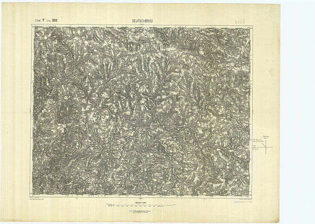
| Description | historische Landkarte: Spezialkarte 1:75.000, franzisco-josephinische (3.) Landesaufnahme der österreichisch-ungarischen Monarchie. Blatt Deutschbrod (Německý Brod). Nr. 4155. Zone 7 Kolumne XIII. |
| Date | nach Zeichenschlüssel 1894 Nachträge bis 30. April 1913 |
| Source | k.u.k. militär-geographisches Institut. |
| Author | Geripp: J. Mugrauer. Terrain: Oberlieut. Platenik. |
| Permission (Reusing this file) |
historisches amtliches Werk aus dem 19. Jahrhundert, freies Werk |
|
This work is in the public domain in its country of origin and other countries and areas where the copyright term is the author's life plus 70 years or fewer. | |
| This file has been identified as being free of known restrictions under copyright law, including all related and neighboring rights. | |
Licensing
edit
|
This work is in the public domain in its country of origin and other countries and areas where the copyright term is the author's life plus 70 years or fewer. | |
| This file has been identified as being free of known restrictions under copyright law, including all related and neighboring rights. | |
File history
Click on a date/time to view the file as it appeared at that time.
| Date/Time | Thumbnail | Dimensions | User | Comment | |
|---|---|---|---|---|---|
| current | 19:36, 15 January 2010 | | 8,268 × 5,886 (19.34 MB) | Josef Moser (talk | contribs) | {{Information |Description=historische Landkarte: Spezialkarte 1:75.000, franzisco-josephinische (3.) Landesaufnahme der österreichisch-ungarischen Monarchie. Blatt Deutschbrod (Německý Brod). Nr. 4155. Zone 7 Kolumne XIII. |Source=k.u.k. militär-geog |
You cannot overwrite this file.
File usage on Commons
There are no pages that use this file.