File:Spitfire (Rougham Airfield 1997).jpg
Size of this preview: 800 × 541 pixels. Other resolutions: 320 × 216 pixels | 640 × 433 pixels | 1,024 × 692 pixels | 1,280 × 866 pixels | 2,560 × 1,731 pixels | 5,349 × 3,617 pixels.
Original file (5,349 × 3,617 pixels, file size: 11.68 MB, MIME type: image/jpeg)
Captions
Captions
Add a one-line explanation of what this file represents
Summary edit
.jpg&action=edit§ion=1)
| Description |
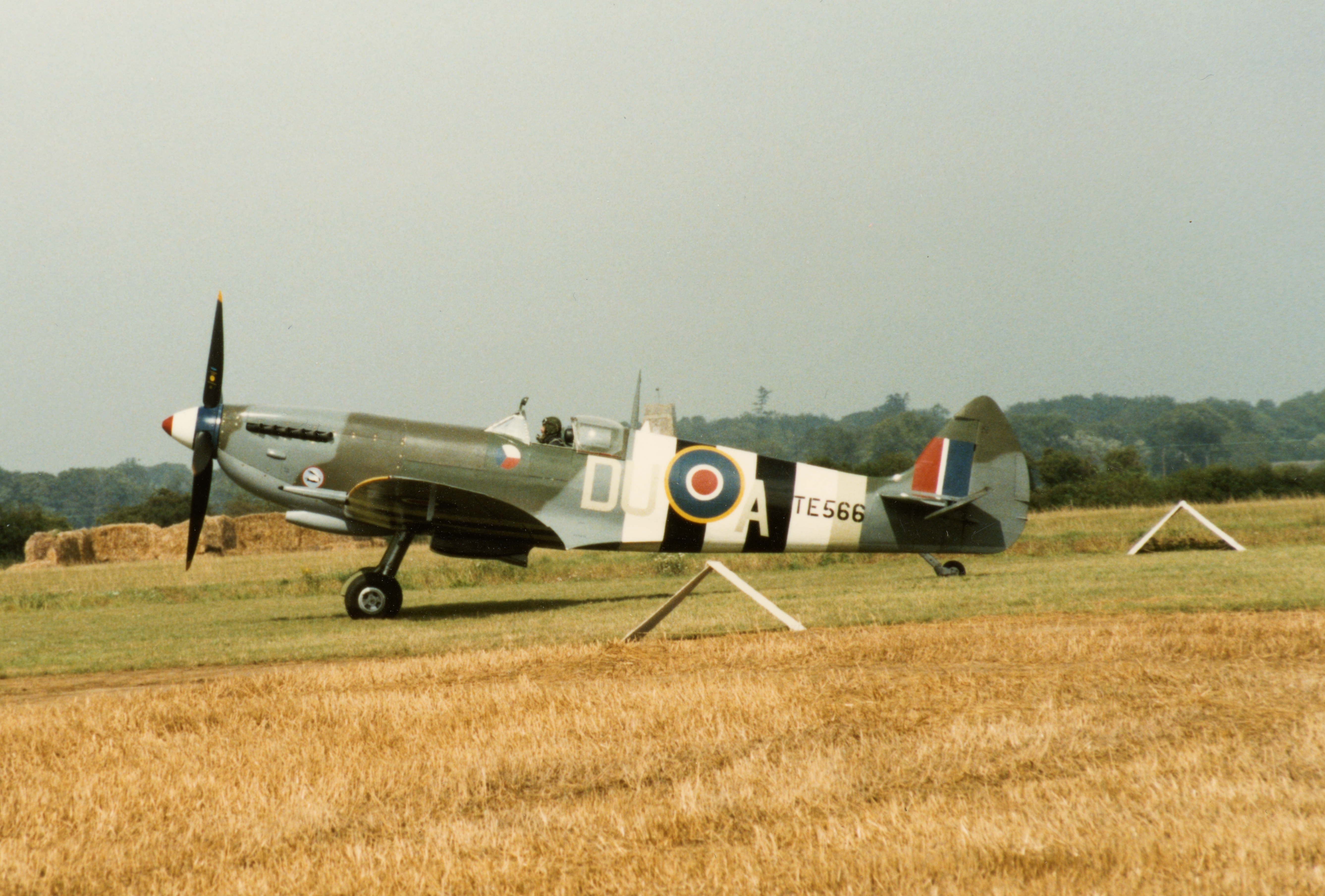
English: Rougham Airfield 1997 |
| Date | |
| Source | https://www.flickr.com/photos/95012874@N00/49997580808/ |
| Author | Martin Pettitt |
| Camera location | | View this and other nearby images on: OpenStreetMap |
|---|
.jpg¶ms=052.246248_N_0000.768785_E_globe:Earth_type:camera__&language=en)
Licensing edit
.jpg&action=edit§ion=2)
This file is licensed under the Creative Commons Attribution 2.0 Generic license.
- You are free:
- to share – to copy, distribute and transmit the work
- to remix – to adapt the work
- Under the following conditions:
- attribution – You must give appropriate credit, provide a link to the license, and indicate if changes were made. You may do so in any reasonable manner, but not in any way that suggests the licensor endorses you or your use.
| This image was originally posted to Flickr by Martin Pettitt at https://flickr.com/photos/95012874@N00/49997580808. It was reviewed on 18 October 2021 by FlickreviewR 2 and was confirmed to be licensed under the terms of the cc-by-2.0. |
File history
Click on a date/time to view the file as it appeared at that time.
| Date/Time | Thumbnail | Dimensions | User | Comment | |
|---|---|---|---|---|---|
| current | 17:55, 18 October 2021 | | 5,349 × 3,617 (11.68 MB) | Ser Amantio di Nicolao (talk | contribs) | Uploaded a work by Martin Pettitt from https://www.flickr.com/photos/95012874@N00/49997580808/ with UploadWizard |
You cannot overwrite this file.
File usage on Commons
There are no pages that use this file.
.jpg&oldid=689338942)