File:Spitzer Furth, eine Furth am Unterlauf.jpg

Size of this preview: 800 × 600 pixels. Other resolutions: 320 × 240 pixels | 640 × 480 pixels | 1,024 × 768 pixels | 1,280 × 960 pixels | 2,560 × 1,920 pixels.
Original file (2,560 × 1,920 pixels, file size: 2.15 MB, MIME type: image/jpeg)
Captions
Captions
Add a one-line explanation of what this file represents
Summary edit
| Description |
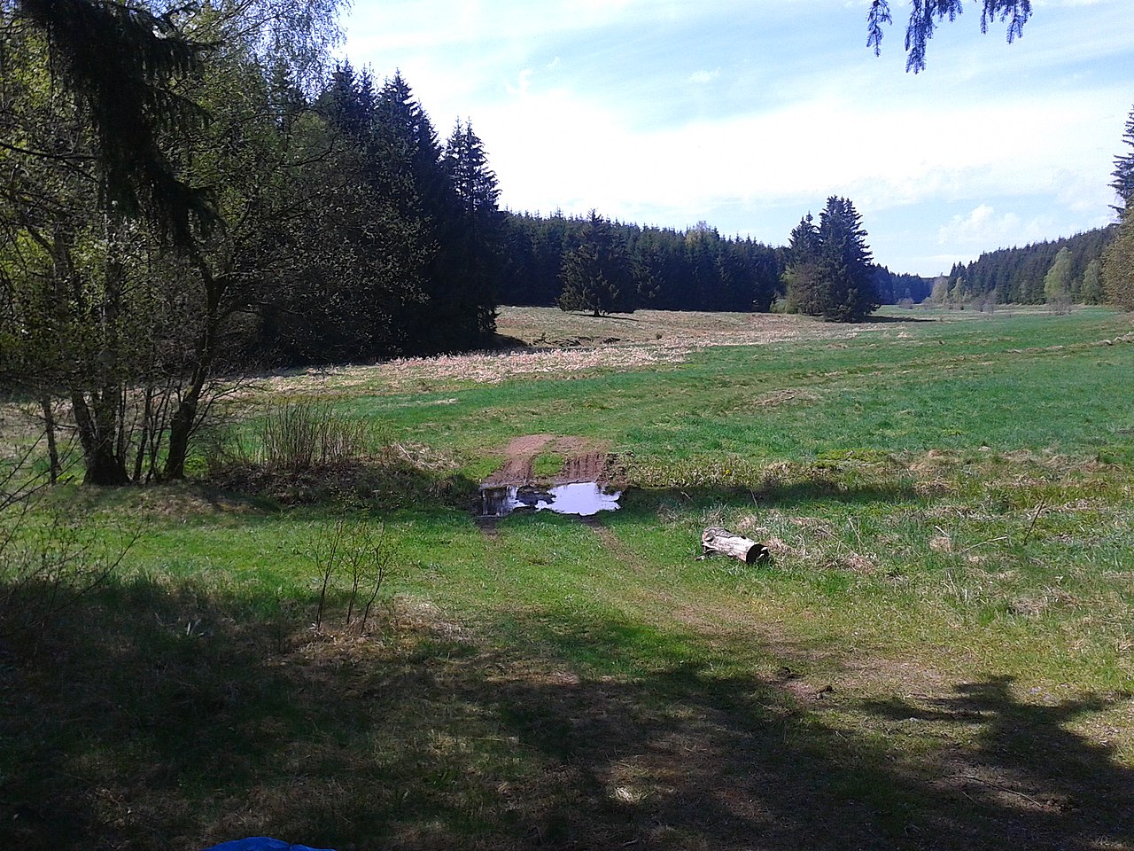
Deutsch: Spitzer Furth, eine Furth am Unterlauf des linker unbenannten Zufluß des Büschengrabens, kurz vor dem oberen Kiliansteich - links vor dem Wald läuft der Büschengraben entlang |
| Date | |
| Source | Own work |
| Author | Sarkana |
| Other versions | flickr:Spitzer Furth |
| Camera location | | View this and other nearby images on: OpenStreetMap |
|---|
Licensing edit
|
English: If you want to use this file commercially, you have to do these under the terms of the Free Art License.
Deutsch: Wenn Sie diese Datei kommerziell nutzen möchten, müssen Sie dies unter den Bedingungen der Licence Art Libre tun.
English: Otherwise you may choose out of of the following Creative Commons licence:
Deutsch: Andernfalls können Sie auch die folgende Creative Commons-Lizenz nutzen:
|

|
Permission is granted to copy, distribute and/or modify this document under the terms of the GNU Free Documentation License, Version 1.2 or any later version published by the Free Software Foundation; with no Invariant Sections, no Front-Cover Texts, and no Back-Cover Texts. A copy of the license is included in the section entitled GNU Free Documentation License. |
If this file is eligible for relicensing, it may also be used under the Creative Commons Attribution-ShareAlike 3.0 license. The relicensing status of this image has not yet been reviewed. You can help.
|
File history
Click on a date/time to view the file as it appeared at that time.
| Date/Time | Thumbnail | Dimensions | User | Comment | |
|---|---|---|---|---|---|
| current | 17:42, 12 August 2022 | | 2,560 × 1,920 (2.15 MB) | Sarkana (talk | contribs) | =={{int:filedesc}}== {{Information |Description={{de|'''Spitzer Furth''', eine Furth am Unterlauf des linker unbenannten Zufluß des Büschengrabens, kurz vor dem oberen Kiliansteich - links vor dem Wald läuft der Büschengraben entlang}} |Date=2012-04-30 13:19 |Author=Sarkana from Spandau, Deutschland |Permission={{own]] |other_versions=[https://www.flickr.com/photos/sarkana/8301189744/ flickr:Spitzer Furth] }} {{Location dec|51.609722|11.008888|source:Flickr}} =={{int:license-header... |
You cannot overwrite this file.
File usage on Commons
The following page uses this file:
File usage on other wikis
The following other wikis use this file:
- Usage on de.wikipedia.org