File:Sr Joseph Dorothy Maher.jpg

Size of this preview: 800 × 513 pixels. Other resolutions: 320 × 205 pixels | 640 × 410 pixels | 1,024 × 657 pixels | 1,280 × 821 pixels | 2,012 × 1,290 pixels.
Original file (2,012 × 1,290 pixels, file size: 669 KB, MIME type: image/jpeg)
Captions
Captions
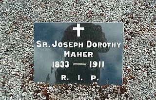
grave marker for Sr Joseph Dorothy Maher
Summary
edit
| Description |
English: grave marker for Sr Joseph Dorothy Maher |
| Date | |
| Source | Own work |
| Author | A.-K. D. |
SR. JOSEPH DOROTHY
MAHER
1833-1911
R. I.P.
MAHER
1833-1911
R. I.P.
| Camera location | | View this and other nearby images on: OpenStreetMap |
|---|
Licensing
edit
I, the copyright holder of this work, hereby publish it under the following license:
This file is licensed under the Creative Commons Attribution 4.0 International license.
- You are free:
- to share – to copy, distribute and transmit the work
- to remix – to adapt the work
- Under the following conditions:
- attribution – You must give appropriate credit, provide a link to the license, and indicate if changes were made. You may do so in any reasonable manner, but not in any way that suggests the licensor endorses you or your use.
File history
Click on a date/time to view the file as it appeared at that time.
| Date/Time | Thumbnail | Dimensions | User | Comment | |
|---|---|---|---|---|---|
| current | 15:29, 8 July 2024 | | 2,012 × 1,290 (669 KB) | A.-K. D. (talk | contribs) | Uploaded own work with UploadWizard |
You cannot overwrite this file.
File usage on Commons
There are no pages that use this file.