File:Sri Lanka relief map.svg

Size of this PNG preview of this SVG file: 430 × 600 pixels. Other resolutions: 172 × 240 pixels | 344 × 480 pixels | 550 × 768 pixels | 734 × 1,024 pixels | 1,468 × 2,048 pixels | 1,013 × 1,413 pixels.
Original file (SVG file, nominally 1,013 × 1,413 pixels, file size: 1.19 MB)
Captions
Captions
Add a one-line explanation of what this file represents
Summary
edit
| Description |
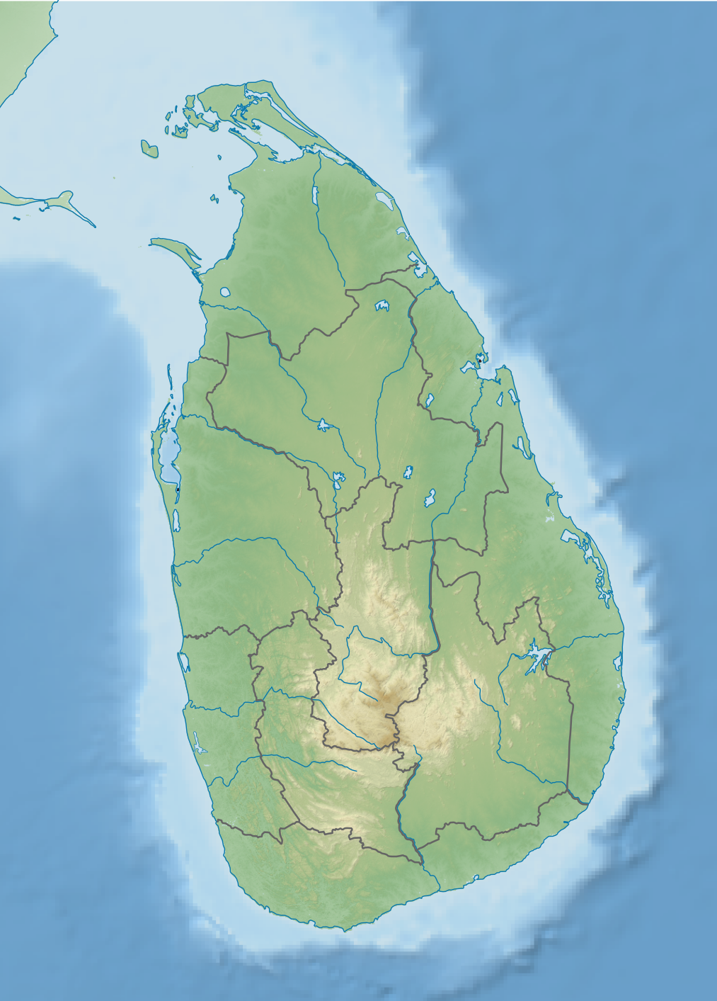
English: Relief map of Sri Lanka. Elevation data from STRM3, coastline and rivers from GSHHG, bathymetry from ETOPO2 |
| Date | |
| Source | Derivative of File:Sri Lanka adm location map.svg |
| Author | Own work based on User:NNW |
Licensing
edit
This file is licensed under the Creative Commons Attribution-Share Alike 3.0 Unported license.
- You are free:
- to share – to copy, distribute and transmit the work
- to remix – to adapt the work
- Under the following conditions:
- attribution – You must give appropriate credit, provide a link to the license, and indicate if changes were made. You may do so in any reasonable manner, but not in any way that suggests the licensor endorses you or your use.
- share alike – If you remix, transform, or build upon the material, you must distribute your contributions under the same or compatible license as the original.
File history
Click on a date/time to view the file as it appeared at that time.
| Date/Time | Thumbnail | Dimensions | User | Comment | |
|---|---|---|---|---|---|
| current | 17:19, 26 February 2021 | | 1,013 × 1,413 (1.19 MB) | C1MM (talk | contribs) | Uploaded a work by Own work based on User:NNW from Derivative of File:Sri Lanka adm location map.svg with UploadWizard |
You cannot overwrite this file.
File usage on Commons
There are no pages that use this file.
File usage on other wikis
The following other wikis use this file:
- Usage on es.wikipedia.org