File:St. Andreaskirche Zadel-Infotafel.jpg

Size of this preview: 450 × 600 pixels. Other resolutions: 180 × 240 pixels | 360 × 480 pixels | 576 × 768 pixels | 768 × 1,024 pixels | 1,536 × 2,048 pixels | 2,736 × 3,648 pixels.
Original file (2,736 × 3,648 pixels, file size: 5.38 MB, MIME type: image/jpeg)
Captions
Captions
Add a one-line explanation of what this file represents
Summary
edit
| Description |
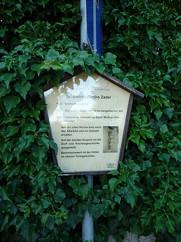
Deutsch: Infotafel bei der St.-Andreas-Kirche in Zadel
English: Andreas church in Zadel |
| Date | |
| Source | Own work |
| Author | D.W. |
| Camera location | | View this and other nearby images on: OpenStreetMap |
|---|
Licensing
edit
| I, the copyright holder of this work, release this work into the public domain. This applies worldwide. In some countries this may not be legally possible; if so: I grant anyone the right to use this work for any purpose, without any conditions, unless such conditions are required by law. |
File history
Click on a date/time to view the file as it appeared at that time.
| Date/Time | Thumbnail | Dimensions | User | Comment | |
|---|---|---|---|---|---|
| current | 15:14, 17 December 2011 | | 2,736 × 3,648 (5.38 MB) | Rotatebot (talk | contribs) | Bot: Image rotated by 270° (EXIF-Orientation set from 6 to 1, rotated 0°) |
| 20:56, 27 June 2008 |  | 3,648 × 2,736 (5.4 MB) | D.W. (talk | contribs) | rotated | |
| 20:42, 27 June 2008 |  | 3,648 × 2,736 (4.63 MB) | D.W. (talk | contribs) | {{Information |Description= {{de|1=Infotafel bei der St.-Andreas-Kirche in Zadel}} {{en|1=Andreas church in Zadel}} |Source=Eigenes Werk (own work) |Author=D.W. |Date=24. Juni 2008 |Permission= |other_versions= }} {{Location|51|11|49.043662| |
You cannot overwrite this file.
File usage on Commons
There are no pages that use this file.