File:Stara Kamienica (gmina) location map.png
Original file (1,094 × 818 pixels, file size: 249 KB, MIME type: image/png)
Captions
Captions
Summary
edit_location_map.png&action=edit§ion=1)
| Description |
English: Location map |
| Date | |
| Source | Own work |
| Author | Smat |
| Description |
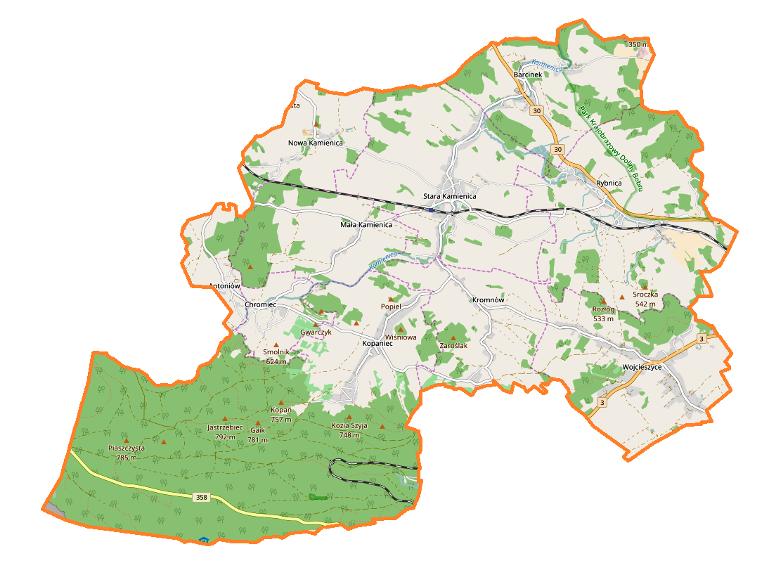
Polski: Mapa gminy Stara Kamienica, Polska
English: Map of Stara Kamienica (gmina), Poland |
|||||||||
| Date | ||||||||||
| Source | You may find a page on the OpenStreetMap wiki page for Stara Kamienica (gmina) | |||||||||
| Creator |
OpenStreetMap contributors OpenStreetMap contributors |
|||||||||
| Permission (Reusing this file) |
OpenStreetMap data is available under the Open Database License (details). Map tiles are licensed under the Creative Commons Attribution-ShareAlike 2.0 license (CC-BY-SA 2.0).
This file is licensed under the Creative Commons Attribution-Share Alike 2.0 Generic license.
|
|||||||||
| Geotemporal data | ||||||||||
| Bounding box |
|
|||||||||
| Georeferencing | If inappropriate please set warp_status = skip to hide. | |||||||||
Licensing
edit_location_map.png&action=edit§ion=2)
| This work contains information from OpenStreetMap, which is made available under the Open Database License (ODbL).
The ODbL does not require any particular license for maps produced from ODbL data. Prior to 1 August 2020, map tiles produced by the OpenStreetMap Foundation were licensed under the CC-BY-SA-2.0 license. Maps produced by other people may be subject to other licences. |
File history
Click on a date/time to view the file as it appeared at that time.
| Date/Time | Thumbnail | Dimensions | User | Comment | |
|---|---|---|---|---|---|
| current | 10:32, 7 January 2017 | | 1,094 × 818 (249 KB) | Smat (talk | contribs) | User created page with UploadWizard |
You cannot overwrite this file.
File usage on Commons
There are no pages that use this file.
File usage on other wikis
The following other wikis use this file:
- Usage on de.wikipedia.org
- Usage on pl.wikipedia.org
- Rezerwat przyrody Krokusy w Górzyńcu
- Stara Kamienica (gmina)
- Barcinek (województwo dolnośląskie)
- Kopaniec (województwo dolnośląskie)
- Mała Kamienica
- Nowa Kamienica
- Stara Kamienica
- Antoniów (województwo dolnośląskie)
- Chromiec (województwo dolnośląskie)
- Kromnów (województwo dolnośląskie)
- Wojcieszyce (województwo dolnośląskie)
- Rybnica (powiat karkonoski)
- Sosnka
- Jaroszyce
- Międzylesie (Kopaniec)
- Kopanina (Kromnów)
- Pałac w Barcinku
- Kamienica (dopływ Bobru)
- Zamek w Rybnicy
- Parafia Ścięcia św. Jana Chrzciciela w Starej Kamienicy
- Piastówka (dopływ Kamiennej)
- Stara Kamienica (stacja kolejowa)
- Kamieniczka (dopływ Kamienicy)
- Rybnica (stacja kolejowa)
- Zamek w Starej Kamienicy
- Parafia św. Katarzyny Aleksandryjskiej w Rybnicy
- Parafia św. Antoniego Padewskiego w Kopańcu
- Parafia św. Barbary w Wojcieszycach
- Moduł:Mapa/dane/Stara Kamienica (gmina)
- Chromiec (dopływ Kamienicy)
- Kościół Ścięcia św. Jana Chrzciciela w Starej Kamienicy
- Usage on pl.wikibooks.org
_location_map.png&oldid=749402580)