File:Stary Knin 2020-05-12 Krizovnicky dvur.jpg

Size of this preview: 800 × 600 pixels. Other resolutions: 320 × 240 pixels | 640 × 480 pixels | 1,024 × 768 pixels | 1,280 × 960 pixels | 2,560 × 1,920 pixels | 3,264 × 2,448 pixels.
Original file (3,264 × 2,448 pixels, file size: 3.91 MB, MIME type: image/jpeg)
Captions
Captions
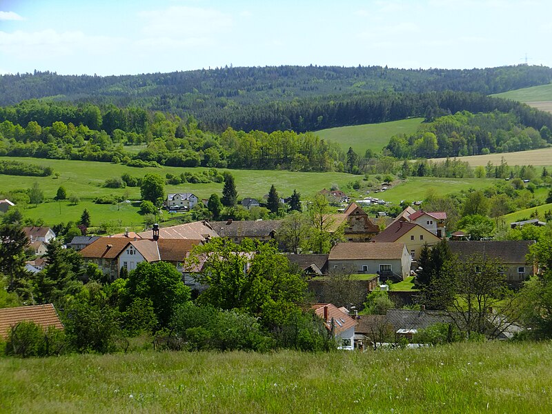
The northern view of the meierhof of Knights of the Cross with the Red Star with the presbytery in Starý Knín
Summary
edit
| Description |
Čeština: Pohled na křižovnický dvůr s farou ve Starém Kníně od severu
English: The northern view of the meierhof of Knights of the Cross with the Red Star with the presbytery in Starý Knín
Русский: Северный вид хозяйственного двора Ордена рыцарей креста с красной звездой с приходом в Старом Книне
Italiano: La veduta dal nord della fattoria dei Crocigeri della stella rossa con la canonica a Starý Knín |
| Date | |
| Source | Own work |
| Author | Miloš Hlávka |
| Camera location | | View this and other nearby images on: OpenStreetMap |
|---|
Licensing
edit
I, the copyright holder of this work, hereby publish it under the following license:
This file is licensed under the Creative Commons Attribution-Share Alike 4.0 International license.
- You are free:
- to share – to copy, distribute and transmit the work
- to remix – to adapt the work
- Under the following conditions:
- attribution – You must give appropriate credit, provide a link to the license, and indicate if changes were made. You may do so in any reasonable manner, but not in any way that suggests the licensor endorses you or your use.
- share alike – If you remix, transform, or build upon the material, you must distribute your contributions under the same or compatible license as the original.
File history
Click on a date/time to view the file as it appeared at that time.
| Date/Time | Thumbnail | Dimensions | User | Comment | |
|---|---|---|---|---|---|
| current | 19:32, 27 November 2020 | | 3,264 × 2,448 (3.91 MB) | Miloš Hlávka (talk | contribs) | Uploaded own work with UploadWizard |
You cannot overwrite this file.
File usage on Commons
There are no pages that use this file.