File:State Route 63 in Lemon Township.jpg

Size of this preview: 800 × 600 pixels. Other resolutions: 320 × 240 pixels | 640 × 480 pixels | 1,024 × 768 pixels | 1,280 × 960 pixels | 2,272 × 1,704 pixels.
Original file (2,272 × 1,704 pixels, file size: 1.46 MB, MIME type: image/jpeg)
Captions
Captions
Add a one-line explanation of what this file represents
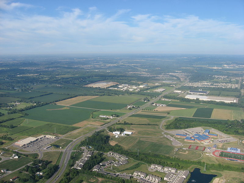
| Description | Aerial view of southern Lemon Township, Butler County, Ohio, United States. The highway is Hamilton-Lebanon Road (State Route 63); it meets Macready Avenue in the bottom left corner of the picture. Picture taken from a Diamond Eclipse light airplane at an altitude of 2,400 feet MSL and a bearing of approximately 255º. | ||
| Date | Taken on 12 August 2008 | ||
| Source | Own work | ||
| Author | Nyttend | ||
| Permission (Reusing this file) |
|
File history
Click on a date/time to view the file as it appeared at that time.
| Date/Time | Thumbnail | Dimensions | User | Comment | |
|---|---|---|---|---|---|
| current | 03:47, 19 September 2008 | | 2,272 × 1,704 (1.46 MB) | Nyttend (talk | contribs) | {{Information |Description=Aerial view of southern {{w|Lemon Township, Butler County, Ohio|Lemon Township}}, {{w|Butler County, Ohio|Butler County}}, {{w|Ohio}}, {{w|United States}}. The highway is Hamilton-Lebanon Road ({{w|Ohio State Route 63|State Rout |
You cannot overwrite this file.
File usage on Commons
The following 2 pages use this file:
File usage on other wikis
The following other wikis use this file:
- Usage on de.wikipedia.org
- Usage on en.wikipedia.org
- Usage on es.wikipedia.org
- Usage on eu.wikipedia.org
- Usage on fa.wikipedia.org
- Usage on pt.wikipedia.org
- Usage on vi.wikipedia.org
- Usage on www.wikidata.org
- Usage on zh.wikipedia.org