File:Statek Úpor Mapy.cz 2020-04-21 02.jpg

Size of this preview: 800 × 567 pixels. Other resolutions: 320 × 227 pixels | 640 × 454 pixels | 1,024 × 726 pixels | 1,308 × 927 pixels.
Original file (1,308 × 927 pixels, file size: 1.04 MB, MIME type: image/jpeg)
Captions
Captions
Add a one-line explanation of what this file represents
Summary edit
| Description |
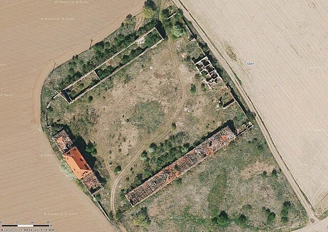
Čeština: opuštěný statek Úpor u Obříství |
| Date | |
| Source | https://mapy.cz/letecka?x=14.4720682&y=50.3158403&z=19 |
| Author | Mapy.cz: © Seznam.cz, a.s., © TopGis, s.r.o., color correction by Hubert Kororo |
| Camera location | | View this and other nearby images on: OpenStreetMap |
|---|
Licensing edit
| This screenshot comes from the map server Mapy.cz under a CC license. Their licence conditions of map bases states: "The Screenshot may also be distributed (i.e. in addition to the conditions already described) under the Creative Commons 4.0 license (CC-BY-SA 4.0) by indicating authors and sources and distributing them under the same license." |
| To the uploader: You must provide a link (URL) to the original file and the authorship information if available. |
This file is licensed under the Creative Commons Attribution-Share Alike 4.0 International license. Attribution: Mapy.cz: © Seznam.cz, a.s., © TopGis, s.r.o.
|
File history
Click on a date/time to view the file as it appeared at that time.
| Date/Time | Thumbnail | Dimensions | User | Comment | |
|---|---|---|---|---|---|
| current | 11:29, 29 April 2023 | | 1,308 × 927 (1.04 MB) | Hubert Kororo (talk | contribs) | Uploaded a work by Mapy.cz: © Seznam.cz, a.s., © TopGis, s.r.o., color correction by Hubert Kororo from https://mapy.cz/letecka?x=14.4720682&y=50.3158403&z=19 with UploadWizard |
You cannot overwrite this file.
File usage on Commons
There are no pages that use this file.