File:Station Kolkwitz-Süd (cycling directions).png

Size of this preview: 800 × 529 pixels. Other resolutions: 320 × 212 pixels | 640 × 424 pixels | 1,024 × 678 pixels | 1,280 × 847 pixels | 3,031 × 2,006 pixels.
Original file (3,031 × 2,006 pixels, file size: 11.28 MB, MIME type: image/png)
Captions
Captions
Add a one-line explanation of what this file represents
Summary
edit.png&action=edit§ion=1)
| Description |
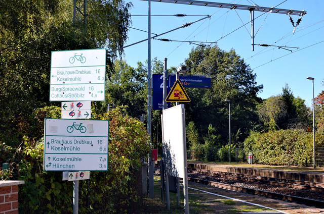
English: Sign post for multiple cycling routes (both local and long distance) at Kolkwitz-Süd station. |
| Date | |
| Source | Own work |
| Author | Trio3D |
| Camera location | | View this and other nearby images on: OpenStreetMap |
|---|
.png¶ms=051.746850_N_0014.242281_E_globe:Earth_type:camera_heading:270.00&language=en)
This file is licensed under the Creative Commons Attribution-Share Alike 4.0 International license.
- You are free:
- to share – to copy, distribute and transmit the work
- to remix – to adapt the work
- Under the following conditions:
- attribution – You must give appropriate credit, provide a link to the license, and indicate if changes were made. You may do so in any reasonable manner, but not in any way that suggests the licensor endorses you or your use.
- share alike – If you remix, transform, or build upon the material, you must distribute your contributions under the same or compatible license as the original.
File history
Click on a date/time to view the file as it appeared at that time.
| Date/Time | Thumbnail | Dimensions | User | Comment | |
|---|---|---|---|---|---|
| current | 10:51, 23 September 2019 | | 3,031 × 2,006 (11.28 MB) | Trio3D (talk | contribs) | {{Information |description ={{en|1=Sign post for multiple cycling routes (both local and long distance) at Kolkwitz-Süd station.}} |date =2019-09-22 |source ={{own}} |author =User:Trio3D }} {{Location|51|44|48.66|N|14|14|32.21|E|heading:W}} {{cc-by-sa-4.0}} Category:Taken with Nikon D50 and Sigma Zoom AF-α 35-135mm 1:3.5-4.5 Category:Cycling route signs in Brandenburg Category:Transport in Kolkwitz/Gołkojce Category:Sorbische Impressionen [[Catego... |
You cannot overwrite this file.
File usage on Commons
There are no pages that use this file.
.png&oldid=770852630)