File:Stordøya.png
Size of this preview: 397 × 600 pixels. Other resolutions: 159 × 240 pixels | 470 × 710 pixels.
Original file (470 × 710 pixels, file size: 482 KB, MIME type: image/png)
Captions
Captions
Add a one-line explanation of what this file represents
Summary
edit
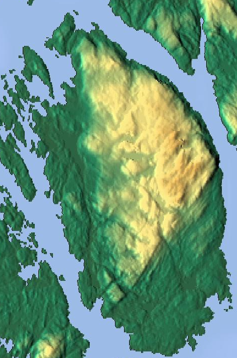
| Description |
Norsk nynorsk: nn:Øya Stord
English: Relief map of Stord island |
| Source | http://www.maps-for-free.com |
| Author | Tannkrem |
Licensing
edit
| I, the copyright holder of this work, release this work into the public domain. This applies worldwide. In some countries this may not be legally possible; if so: I grant anyone the right to use this work for any purpose, without any conditions, unless such conditions are required by law. |
File history
Click on a date/time to view the file as it appeared at that time.
| Date/Time | Thumbnail | Dimensions | User | Comment | |
|---|---|---|---|---|---|
| current | 19:00, 19 March 2008 | | 470 × 710 (482 KB) | Tannkrem (talk | contribs) | {{Information |Description={{nn}} nn:Øya Stord {{en}} Relief map of Stord island |Source=http://www.maps-for-free.com |Date= |Author=Tannkrem |Permission= |other_versions= }} Category:Stord Category:Maps of Hordaland |
You cannot overwrite this file.
File usage on Commons
There are no pages that use this file.
File usage on other wikis
The following other wikis use this file:
- Usage on nn.wikipedia.org