File:Straßenbrunnen118 Waidmannslust Zabel-Krüger Albtalweg (1).jpg

Size of this preview: 800 × 600 pixels. Other resolutions: 320 × 240 pixels | 640 × 480 pixels | 1,024 × 768 pixels | 1,280 × 960 pixels | 2,560 × 1,920 pixels | 4,138 × 3,103 pixels.
Original file (4,138 × 3,103 pixels, file size: 2.18 MB, MIME type: image/jpeg)
Captions
Captions
Add a one-line explanation of what this file represents
Summary edit
.jpg&action=edit§ion=1)
| Description |
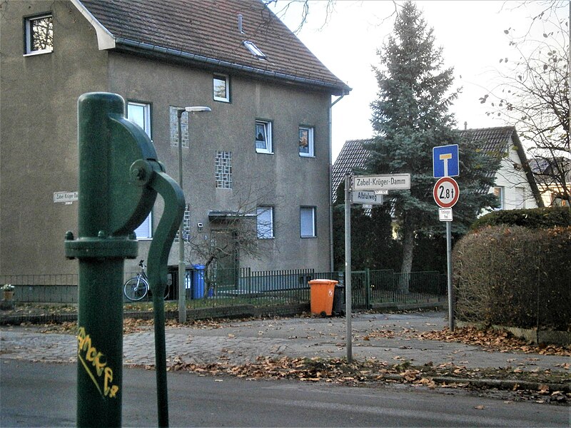
Deutsch: Der Brunnen steht an der Südseite des Zabel-Krüger-Damms gegenüber vom Eckgrundstück 57 mit dem Albtalweg. Der Standort liegt mit dem Ablauf über einem Straßeneinlass im Randstreifen des Gehwegs. Der Wohnhausblock 38–48 auf der Brunnenseite liegt 60 Meter von der Straße nach hinten versetzt im Winkel der 40 Meter entfernten südwestlichen Ecke zur Titiseestraße. |
| Date | |
| Source | Own work |
| Author | Boonekamp namens GHaase |
| Camera location | | View this and other nearby images on: OpenStreetMap |
|---|
.jpg¶ms=052.610361_N_0013.333536_E_globe:Earth_type:camera__&language=en)
Licensing edit
.jpg&action=edit§ion=2)
I, the copyright holder of this work, hereby publish it under the following license:
This file is licensed under the Creative Commons Attribution-Share Alike 4.0 International license.
- You are free:
- to share – to copy, distribute and transmit the work
- to remix – to adapt the work
- Under the following conditions:
- attribution – You must give appropriate credit, provide a link to the license, and indicate if changes were made. You may do so in any reasonable manner, but not in any way that suggests the licensor endorses you or your use.
- share alike – If you remix, transform, or build upon the material, you must distribute your contributions under the same or compatible license as the original.
File history
Click on a date/time to view the file as it appeared at that time.
| Date/Time | Thumbnail | Dimensions | User | Comment | |
|---|---|---|---|---|---|
| current | 19:19, 28 December 2018 | | 4,138 × 3,103 (2.18 MB) | Boonekamp (talk | contribs) | User created page with UploadWizard |
You cannot overwrite this file.
File usage on Commons
There are no pages that use this file.
.jpg&oldid=505167648)